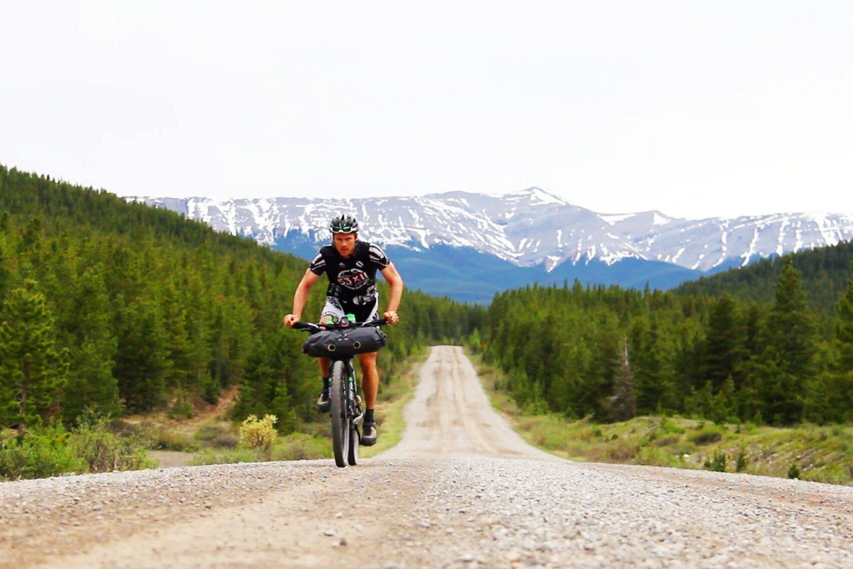
Guidebook Routes
The following ten routes are featured in ‘Bikepacking in the Canadian Rockies’ written by Ryan Correy. A GPX track of each route can be viewed below, however, we highly recommend purchasing a copy of the book as an important resource for route information and as a necessary companion to the routes files provided. You can purchase a copy here.
Route issues that we were aware of at the time of publishing have been noted in the guidebook. Trail conditions are changing all the time - water levels, dead fall, trail erosion, access, etc. The guidebook and associated GPX files are a starting point for trip planning. It is essential that riders do their own research to confirm the information provided. Individuals must determine the risks, use their own judgment, and take full responsibility for their actions. Do not depend on any information found in the guidebook or on this website for your own personal safety. Your safety depends on your own due diligence and good judgment.
A story about the guidebook…
Front Range
496 km point-to-point from Hinton to Canmore, AB

High Rockies
183 km loop through Kananaskis starting in Banff, AB

Beaverfoot
389 km loop through the Columbia Valley starting in Golden, BC. *significant route issues, refer to guidebook*

Devil’s Gap
214 km loop through Banff starting in Canmore, AB

Highwood
357 km loop through the Elk and Livingstone range starting in Coleman, AB

Castle
266 km loop through the West Castle Valley starting in Blairmore, AB *wildfire damage may impact route, as noted in guidebook*

Top of the World
347 km loop through Southern BC starting in Cranbrook, BC

Flathead
291 km loop through Southern BC starting in Fernie, BC

Three Point
173 km loop through Kananaskis starting in Bragg Creek, AB

Winter Icefields
291 km along a snowy Highway 93 starting in Banff, AB