SEYMOUR ARM OVERNIGHTER
A 175 km route passing through two valleys in the Monashee mountains. Submitted by Dario Dulic.
For route questions or additional details, contact Dario by email or Instagram
OVERVIEW
Distance: 175 km | Ascent: 3,778 m | Unpaved: 98% | Recommended days: 2
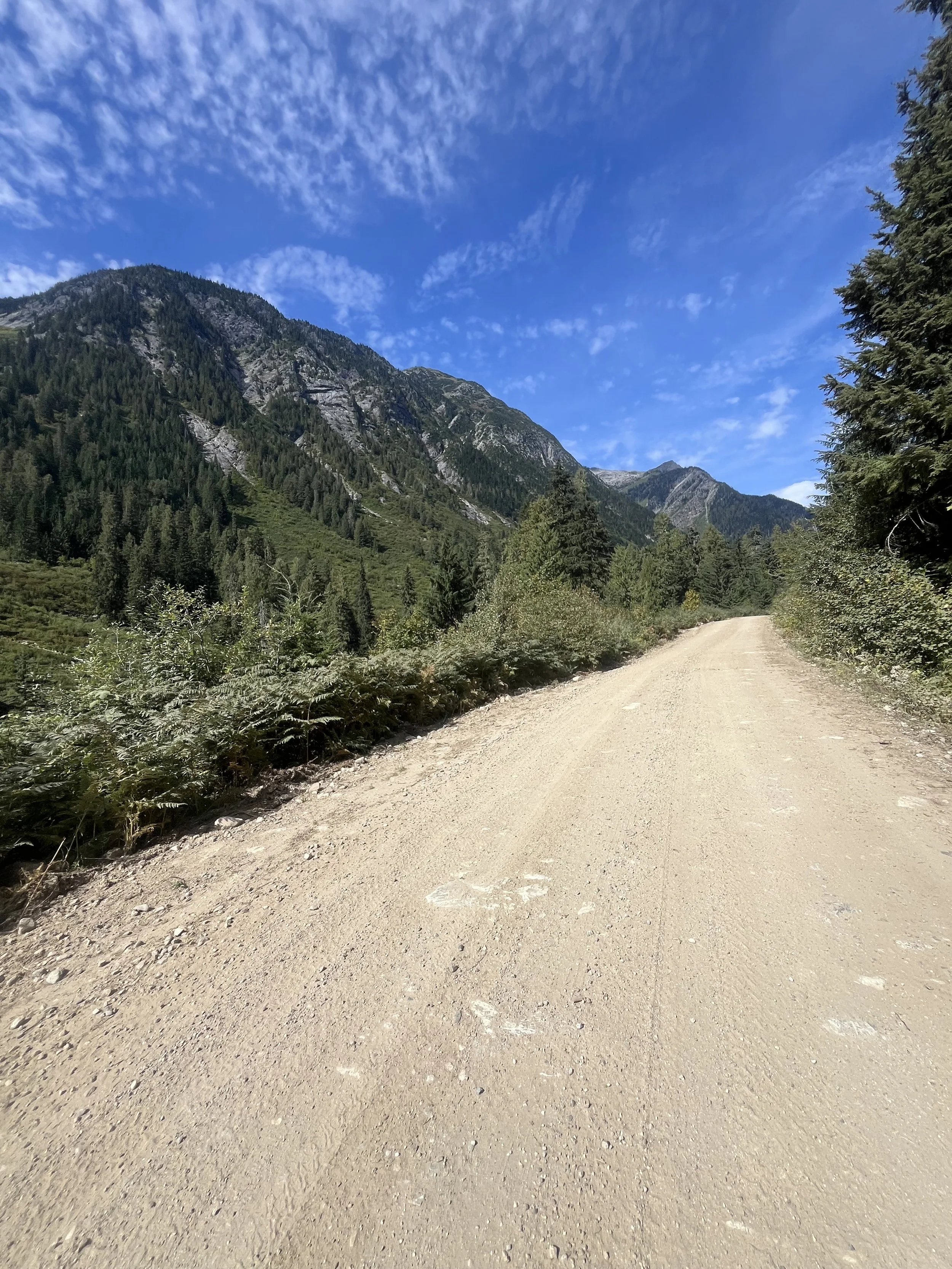
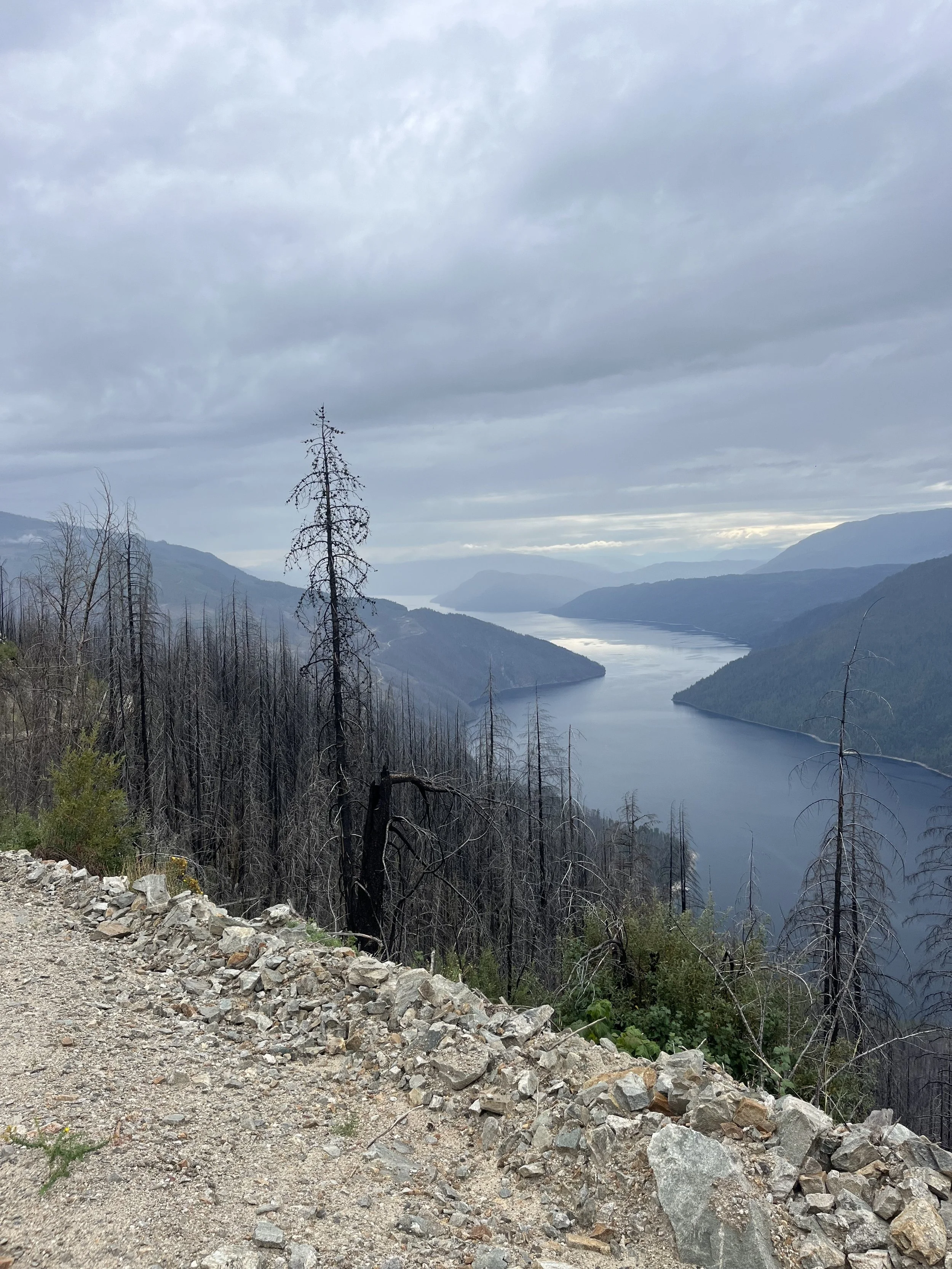
The Seymour Arm Overnighter is a beautiful 175 km route that passes through 2 valleys in the Monashee mountain range close to Sicamous, BC. Most of this route is unpaved and you pass through Forest Service Roads that lead you to Seymour Arm. Before embarking on a journey, riders must be aware that the roads are being used for commercial purposes. There is active logging in the area and you may encounter logging trucks and other vehicles. Please be cautious as roads are narrow, and windy with some areas having steep drop offs. Please respect the rules of the road and give way to any type of moving vehicles, especially loaded logging trucks.
HELPFUL DETAILS
This route is in remote, where bears roam around. It is highly recommended to bring bear spray and properly secure any scented food/products in bear resistant bags.
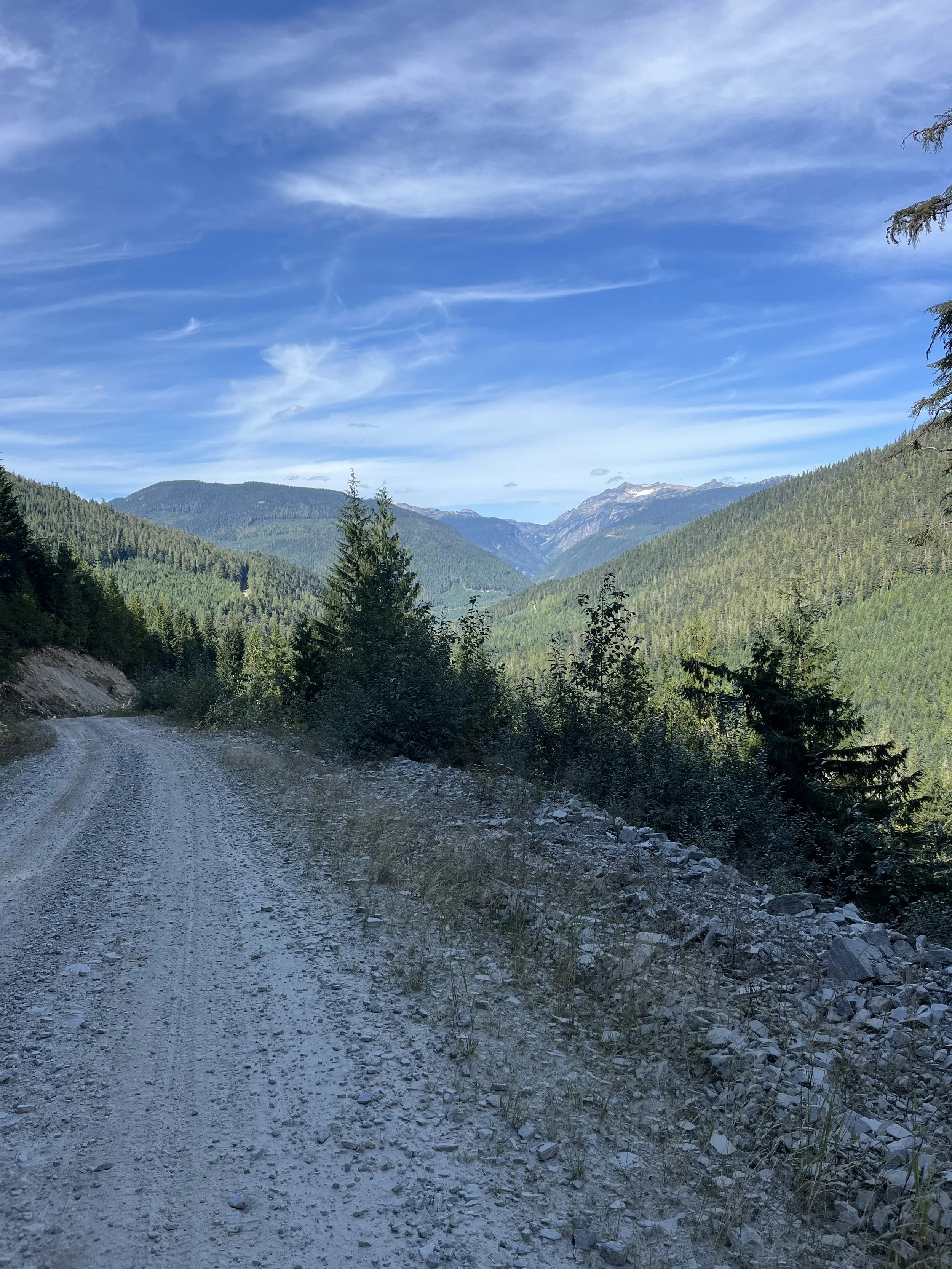
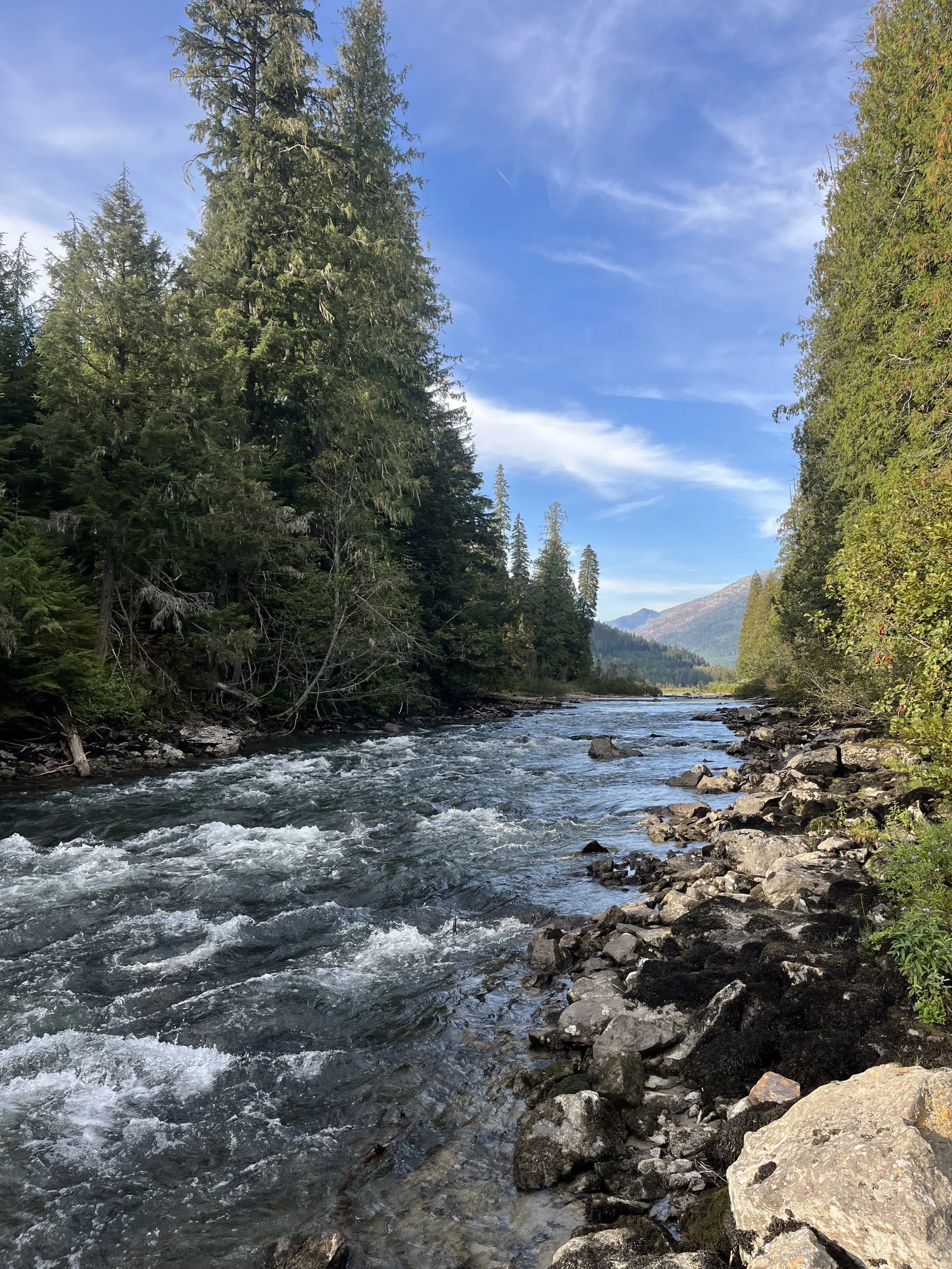
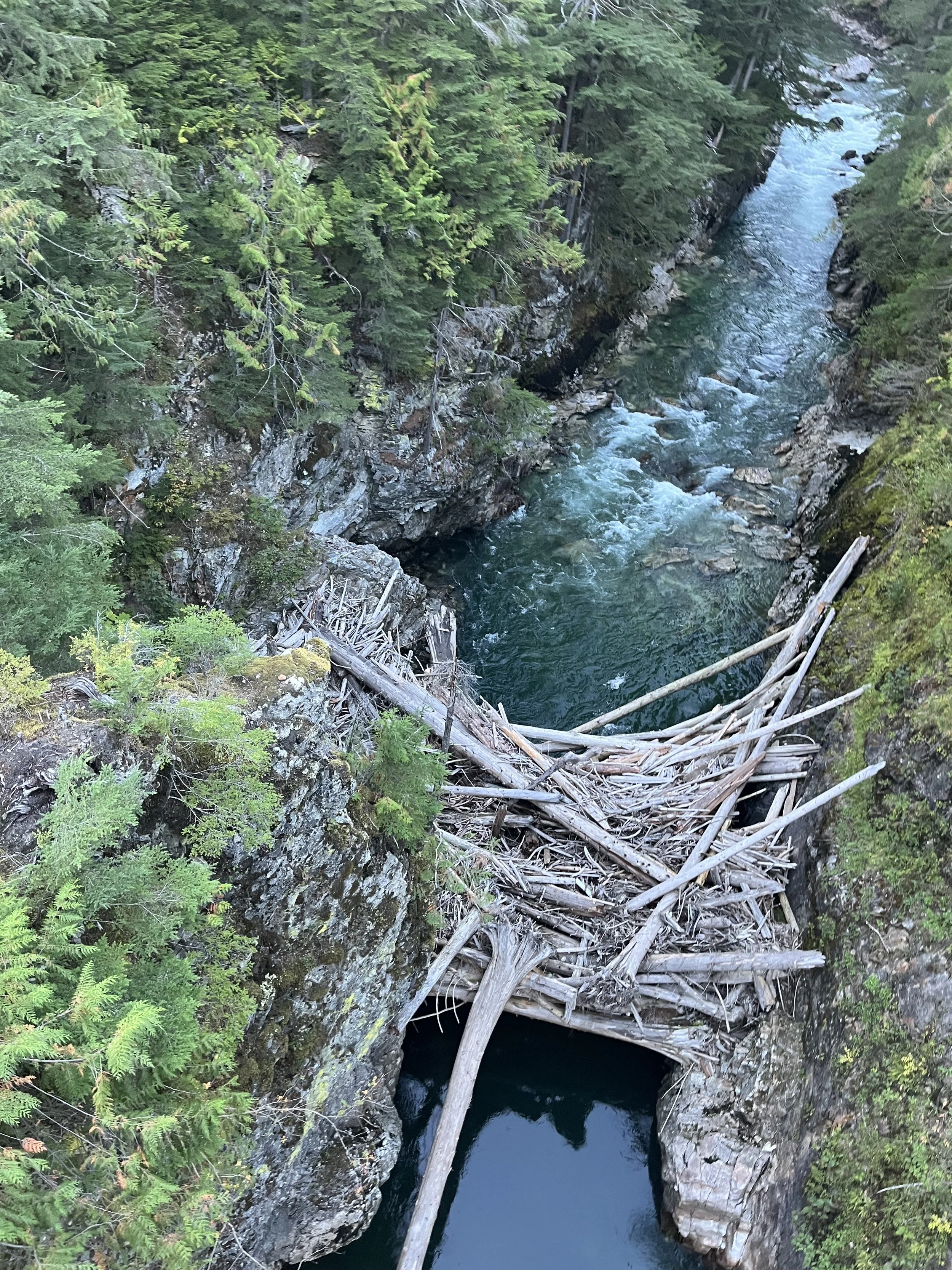
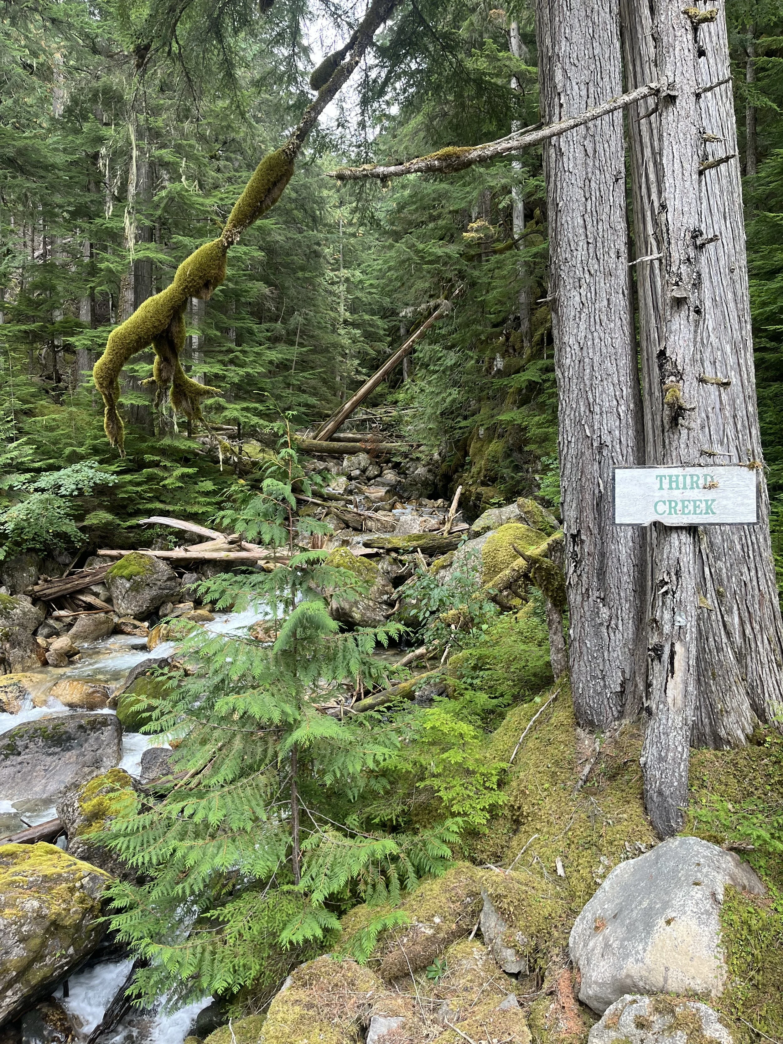
The route is 98% unpaved on Forest Service Roads (nice wide double track) and gains over 3778 m of elevation. Biking mostly on the Perry River Valley FSR on the first day until reaching Seymour Arm and coming home on the Gorge FSR, you pass through stunning creeks, rivers and mountain ranges in the Monashee Mountain range. The journey will take around 86 km of cycling while climbing just under 1660 m of elevation. Finishing the hard first day, you are rewarded with beautiful views of Shuswap Lake and Seymour Arm. There are a lot of rivers and creeks where you can stop and refill your water. Being remote, a water filtration device is highly recommended as there are no potable water sources. Seymour Arm is a small village with no electrical power but a General Store can be assessed for resupplies and the Seymour Arm campground is a place to sleep for the night.
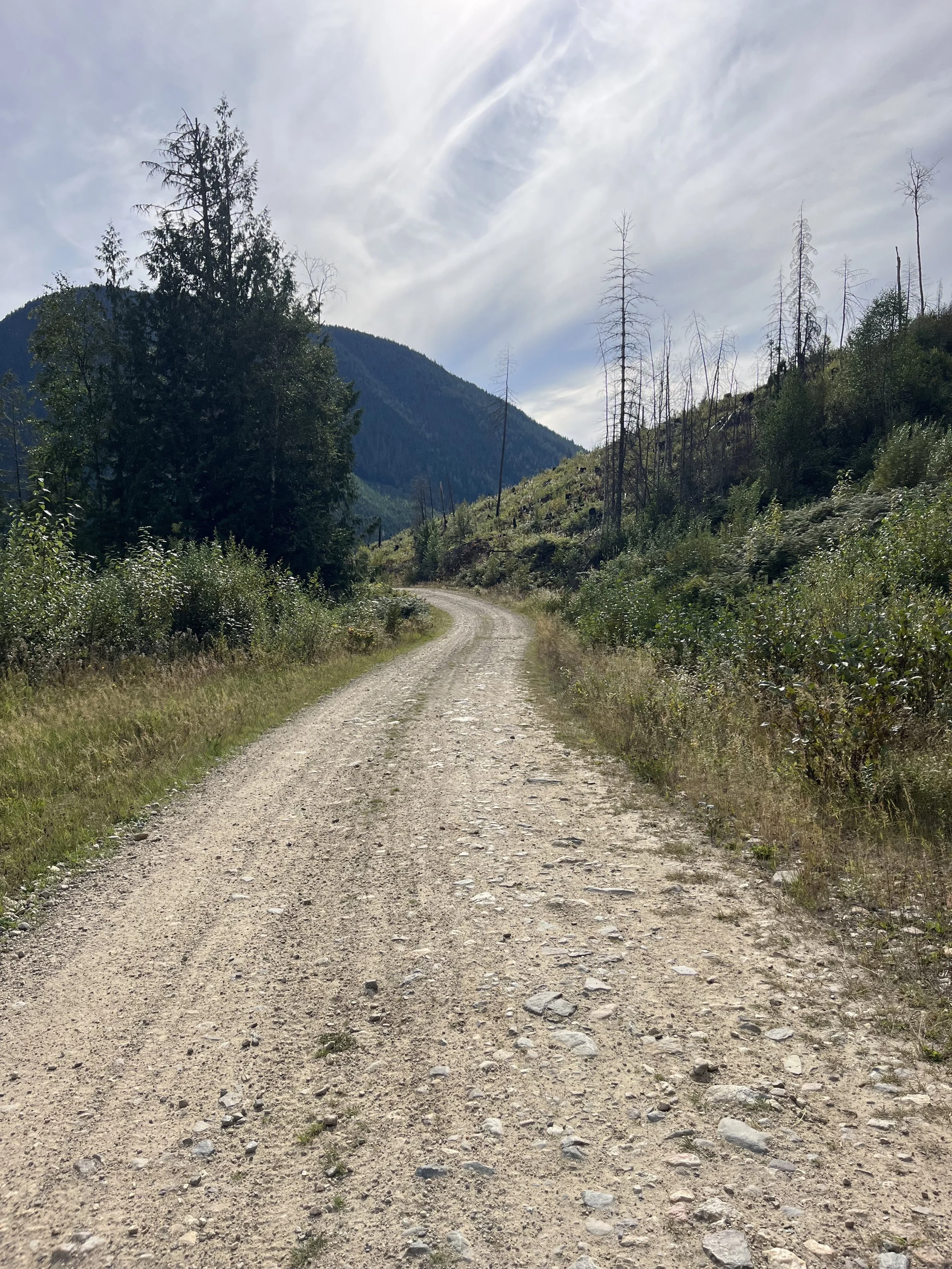
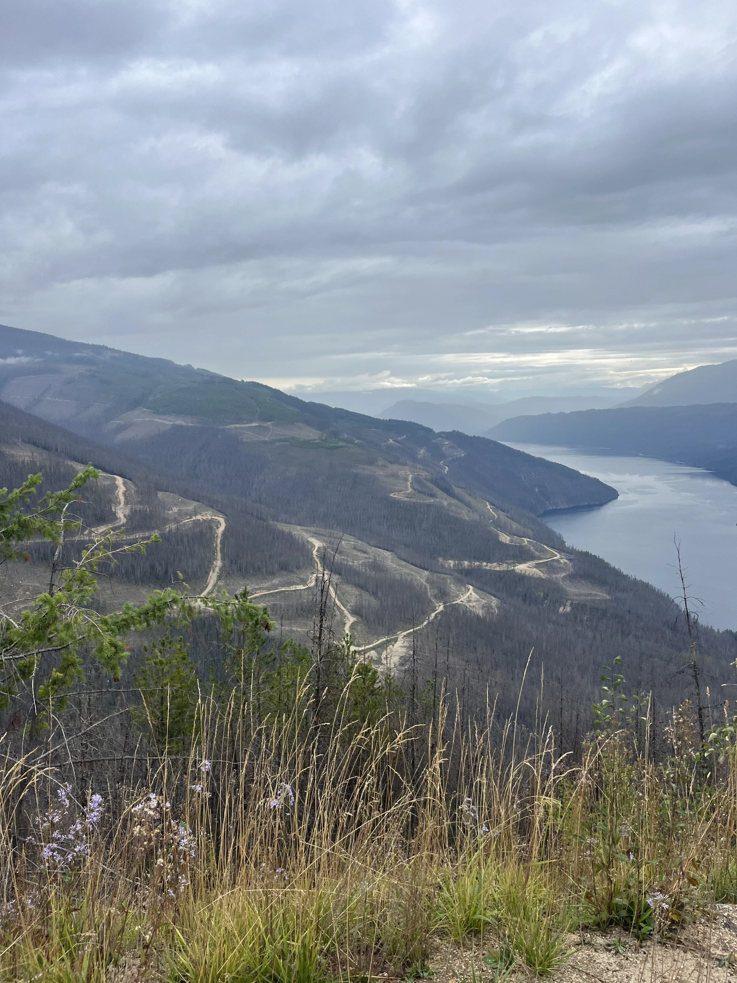
On the second day, the climbing is a bit more potent. You will ride around 90km while ascending 2200m throughout the ride. Coming out of Seymour Arm is a nice steep climb and the Gorge FSR has a higher elevation than the Perry River FSR. Although the climbing is grueling you are rewarded with beautiful views of Shuswap Lake and the surrounding mountains and valleys. You can see the destruction of wild fires with some faces of mountains bearing kilometers of the dead wood. Once reaching the summit of the Gorge FSR, cyclists are treated to a nice descent overlooking a valley on the east side that brings you down over 1100 m of descent in only about 18 km to the town of Malakwa by Highway 1. After that you have to cycle around 3 km on Highway 1 eastbound to return to your vehicle.
WHEN TO GO
The route is best travelled between late May and early October, where the optimal time is early to mid September. Due to the elevation and topography of the route you can experience snow from May to June and the dry conditions in the summer can degrade the forest service roads and make it very dusty. Heavy rains will make the expedition much more difficult as road conditions will deteriorate making cycling difficult and more tiresome. Rainy days in higher elevations can make the ride really cold so be prepared for changing weather conditions and check the forecast before leaving. Due to the remote nature of the route, there is very limited cell reception so bringing a satellite communication device is highly recommended.
DIFFICULTY
Although the route can be completed in 2 days, the route is challenging in nature due to the amount of climbing that has to be completed in the 2 days. On the second day coming out of Seymour Arm, expect to do over 2200m of elevation gain. The climbs are steep, reaching up to 20% gradients on loose gravel. There is no singletrack on this route so there is little technical riding. With vast elevation differences the highest point of the Gorge FSR reaches just over 1500m where, on a cold day, rain or even snow can happen unexpectedly. Prepare for variable weather conditions. You will be in grizzly, black bear and cougar territory as well as cycling on active logging roads.
WHAT TO BRING
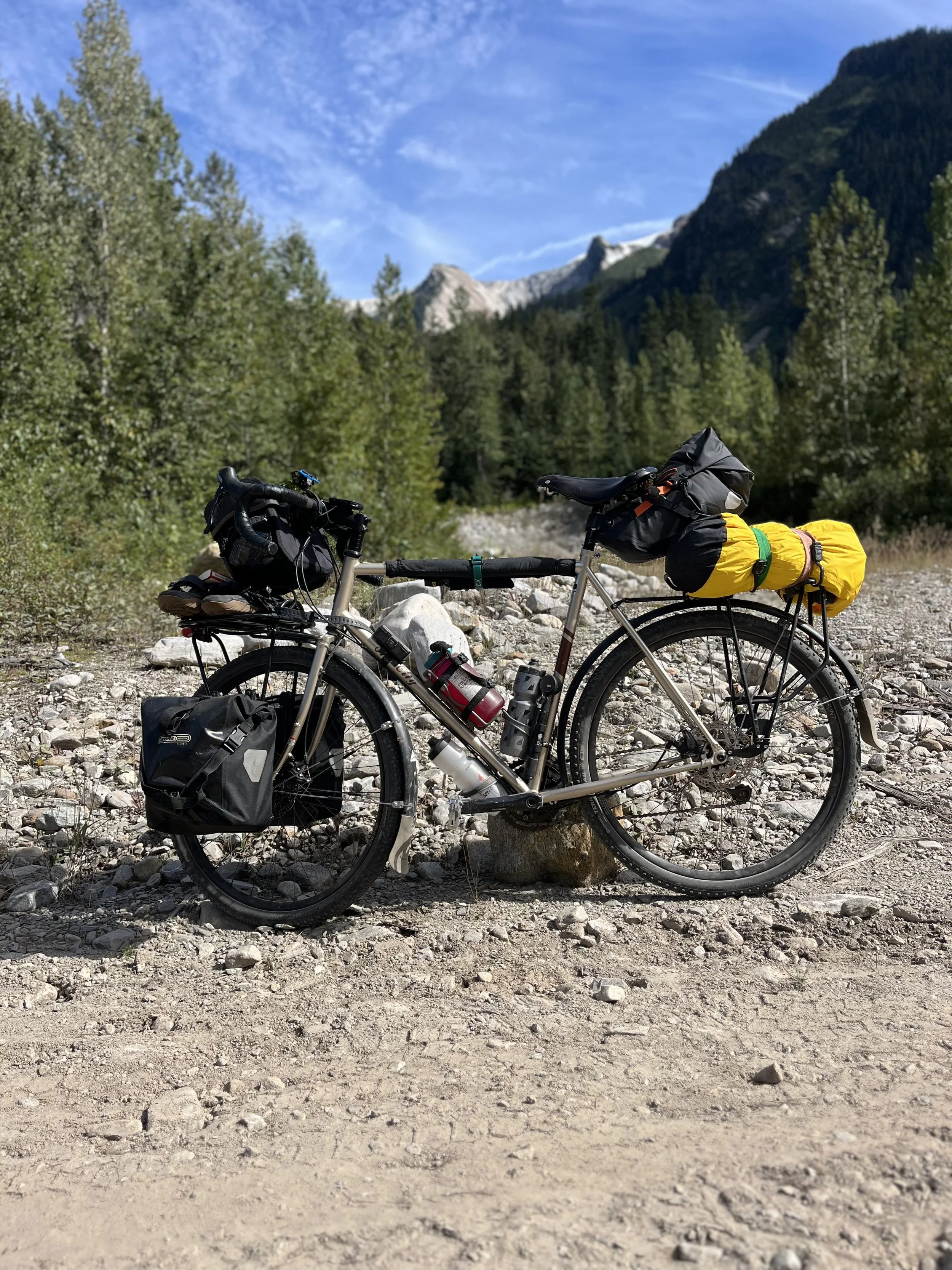
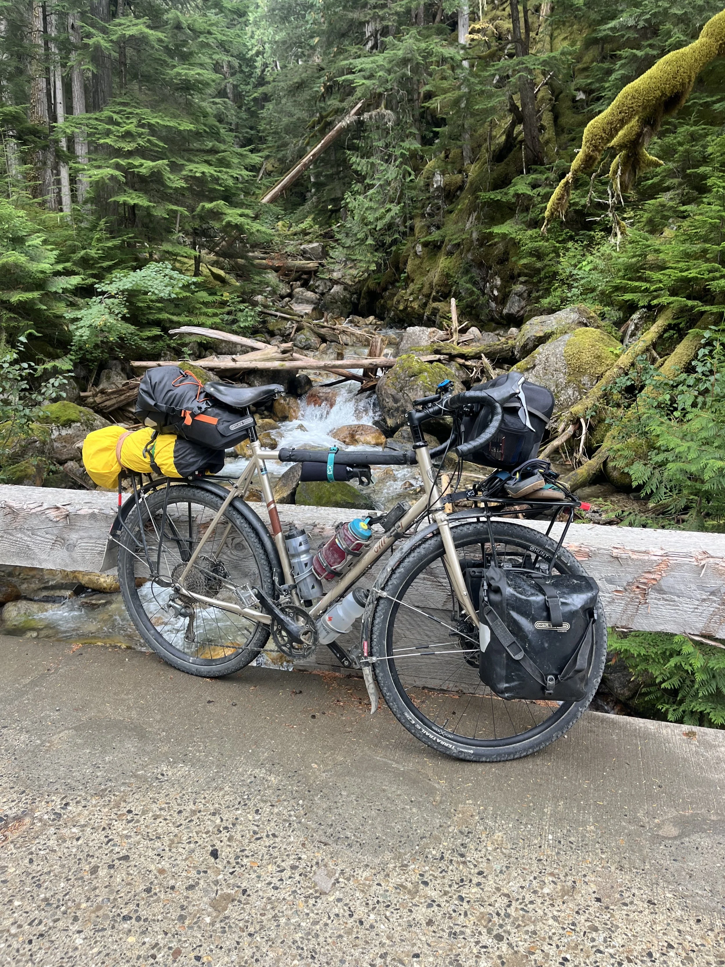
A gravel bike with over 45mm of tire width will be adequate for this journey. 40mm will be fine for most of the ride except for some loose gravel and sandy sections. Some of the climbs have loose gravel where there is a possibility of slipping but the roads are wide and fairly smooth. You are on forest service roads that are meant for vehicles. A gravel bike with adequate gear ratios for climbing is best suited for this journey. Any type of suspension bike would work too but will not be as efficient as a gravel bike.
RESUPPLY, REFUEL, AND REST STOPS
There are a lot of creeks and rivers that you encounter during the ride where you can pull over to refill your water. There are a lot of pull outs you can camp at if you do not reach Seymour Arm.
Seymour Arm has a general store, Daniels Store and Marina, where you can refuel with liquor, groceries and fuel.
Seymour Arm Campground has affordable campsites that are very close to the water.
The Wheelhouse Pub restaurant is open seasonally where you can stop for a rewarding meal.
For a rest stop, Silver Beach Provincial Park is a beautiful beach overlooking Shuswap Lake. It’s a fun place to swim and hangout after completing the first day of your journey. Potable water is available by the baseball diamonds close by.
I would recommend bringing your own meal in the event everything is closed.