THE GREAT GRANBY LOOP
475 km loop from the shoreline of Lower Arrow Lakes in BC's beautiful and mountainous West Kootenay region
Route, write-up, and photos by Ali Becker and Mat Leblanc | Find them on Instagram: @trip.longer | Get in touch with Ali here
475 KM | ELEVATION: + 6592 M | RECOMMENDED 5 - 7 DAYS
UNPAVED : 69% | RIDEABLE TIME : 99% | HIGH POINT : 1360 M
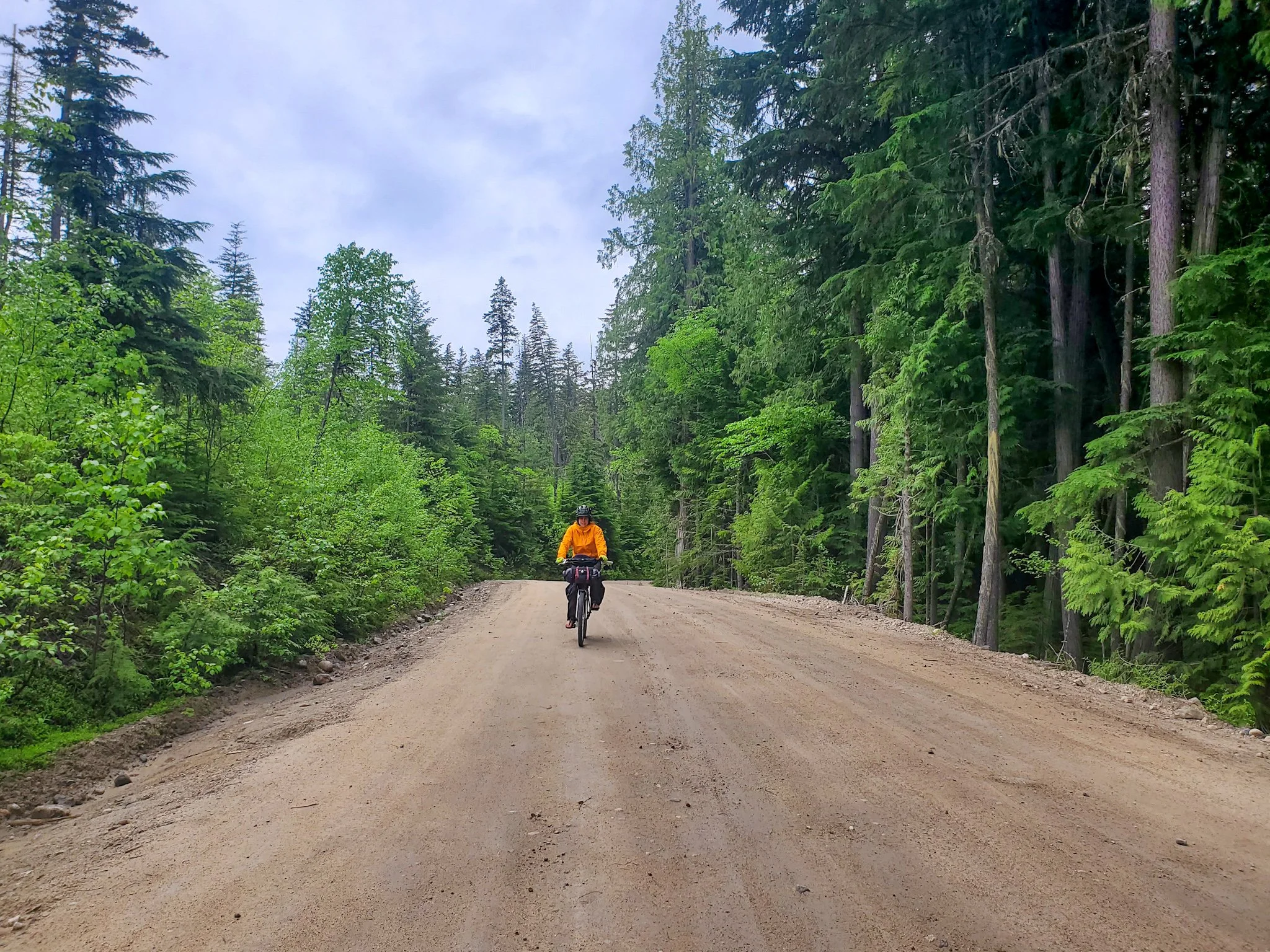
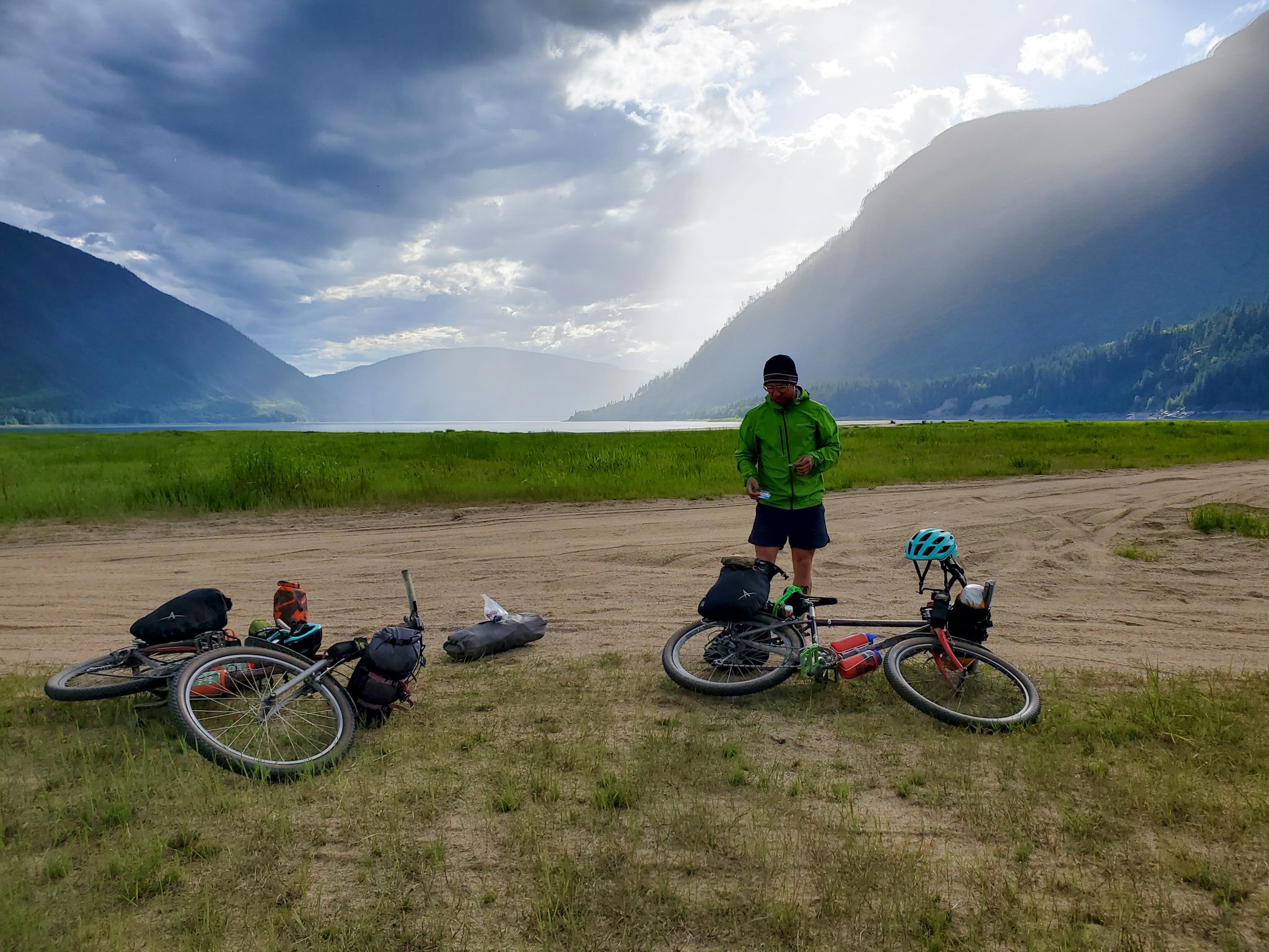
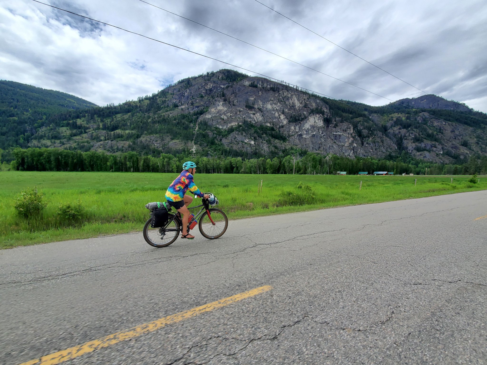
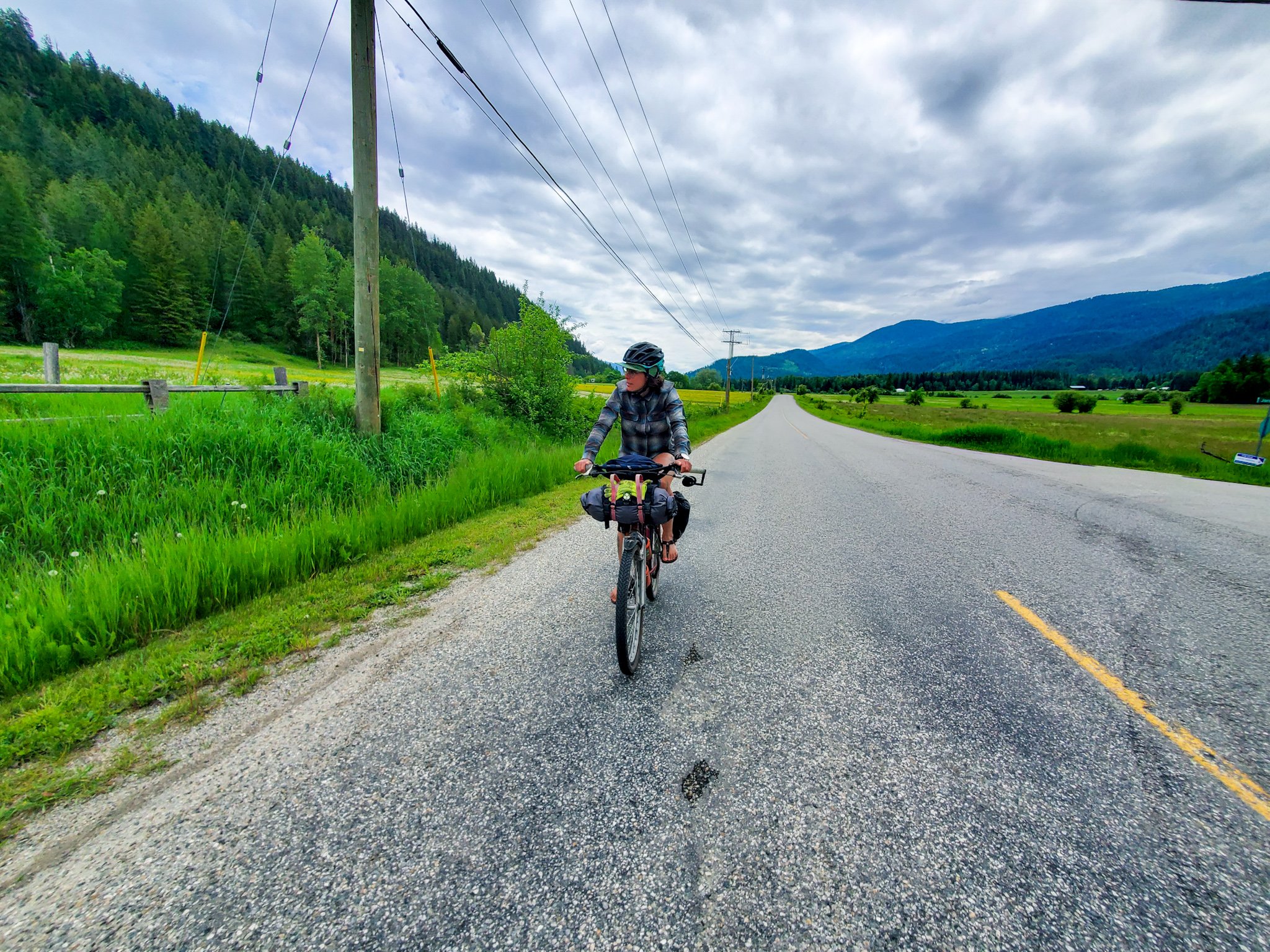
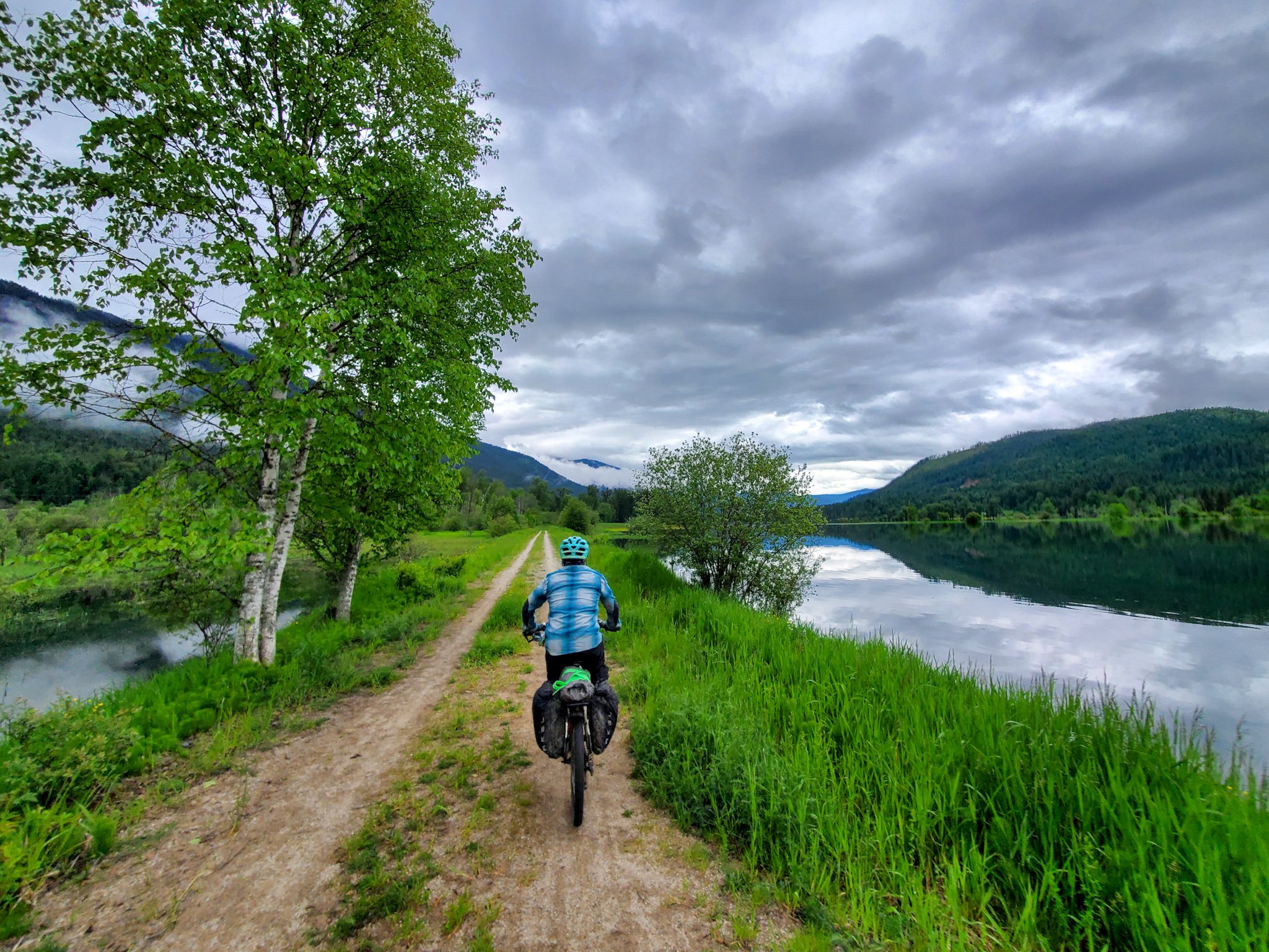
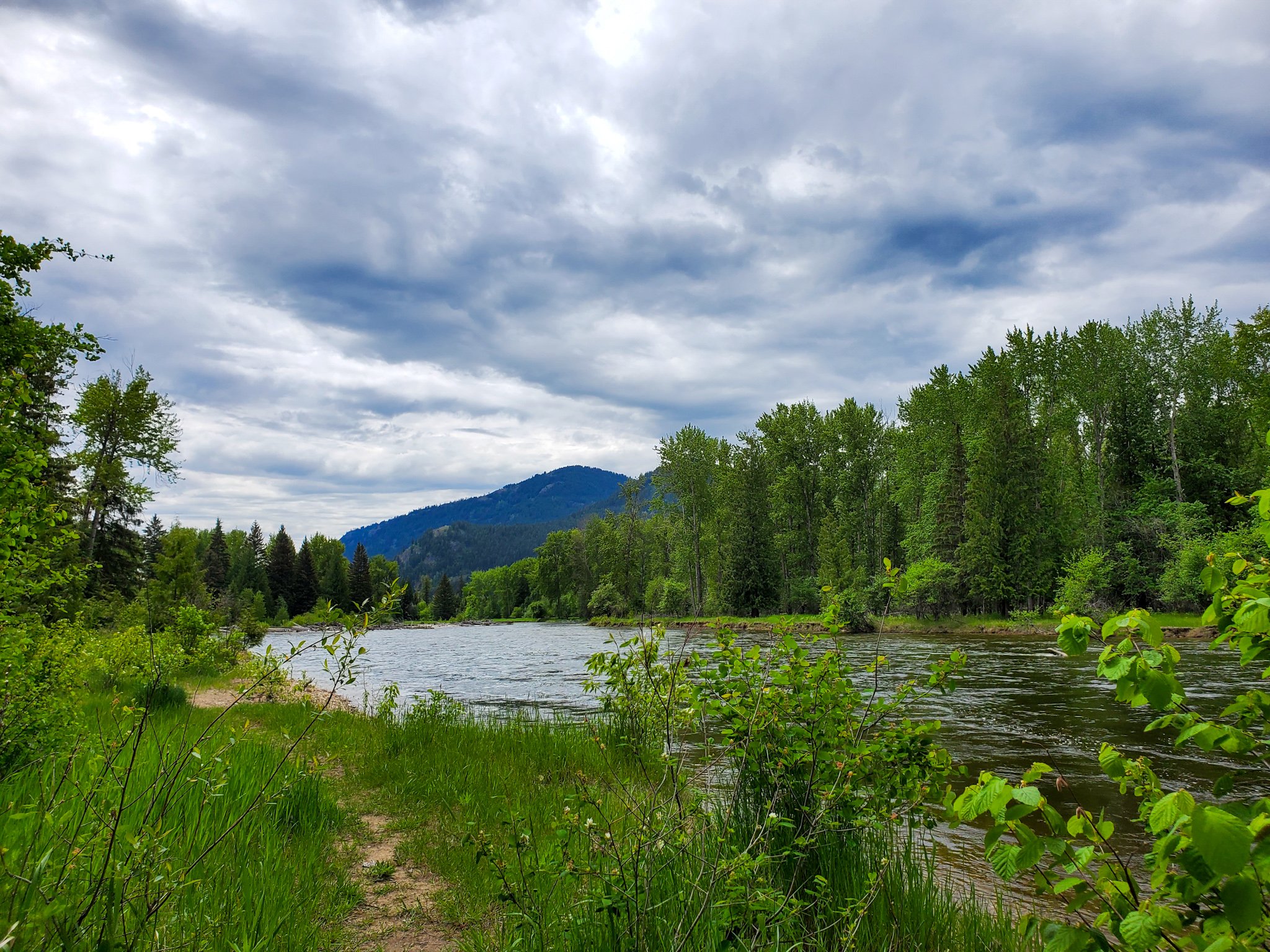
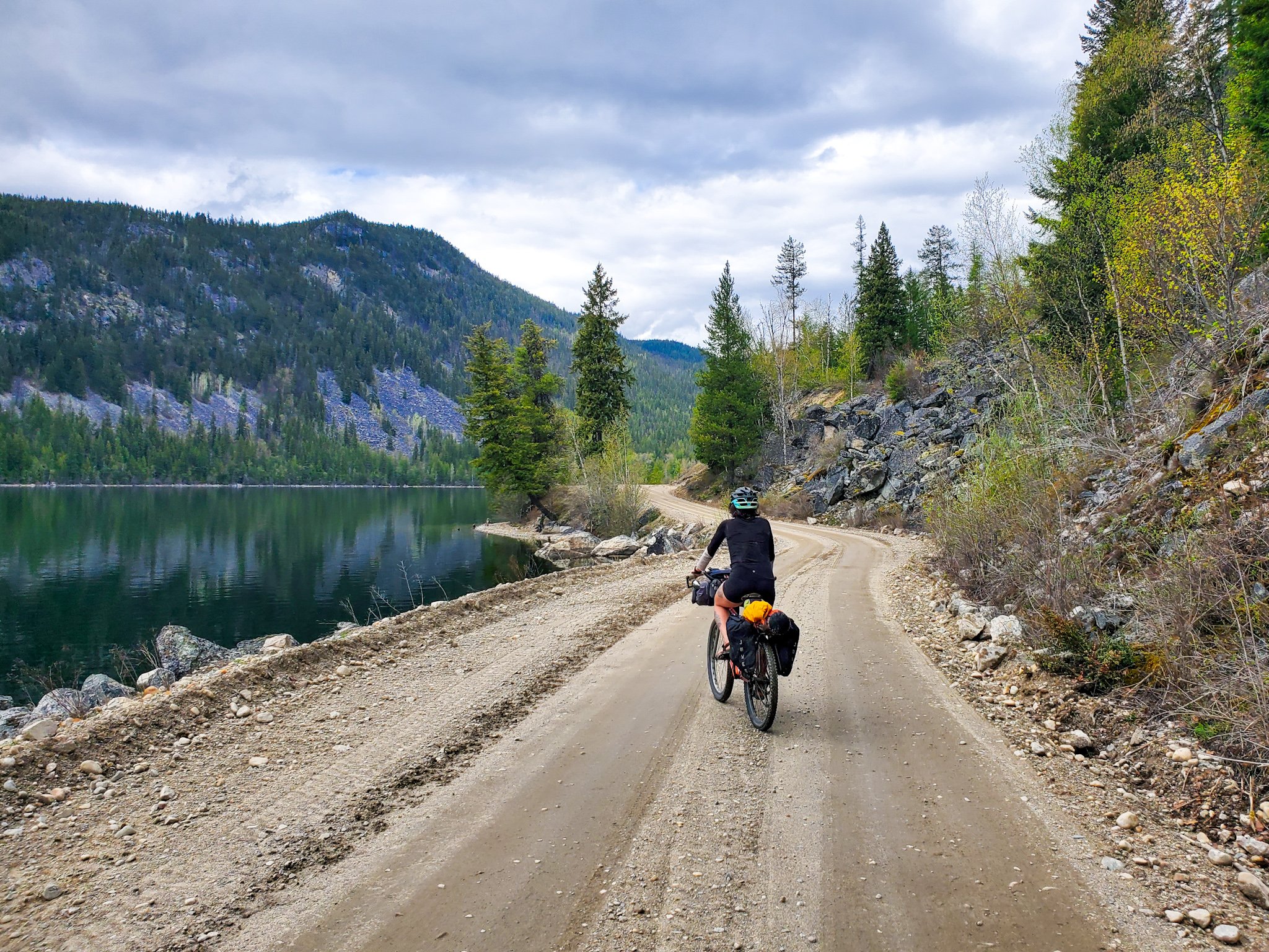
The Great Granby Loop is a moderately challenging 475 kilometer bikepacking route that starts and ends along the shorelines of Lower Arrow Lakes in British Columbia's beautiful and mountainous, West Kootenay region.
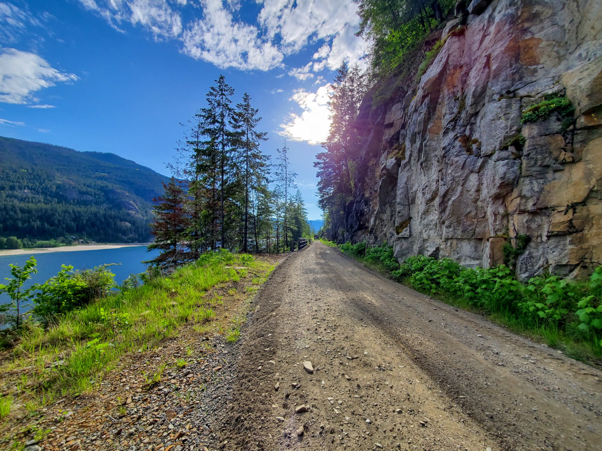
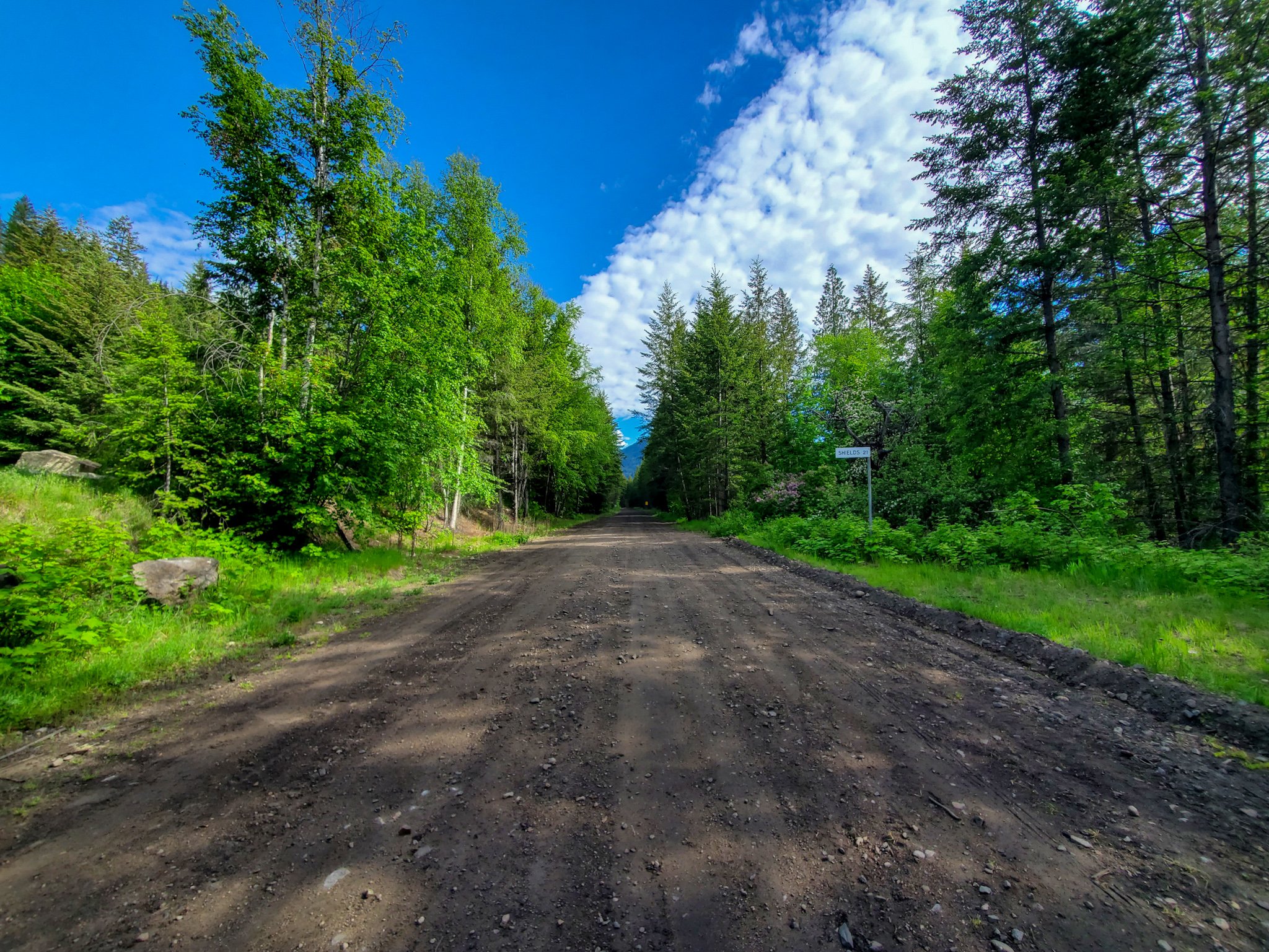
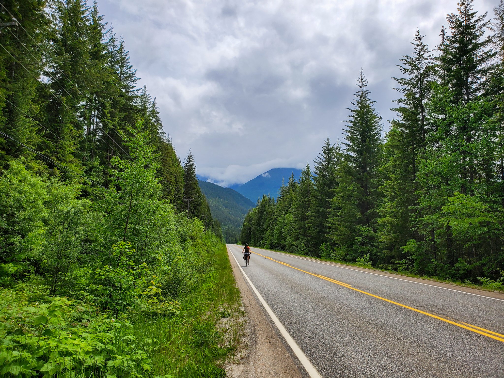
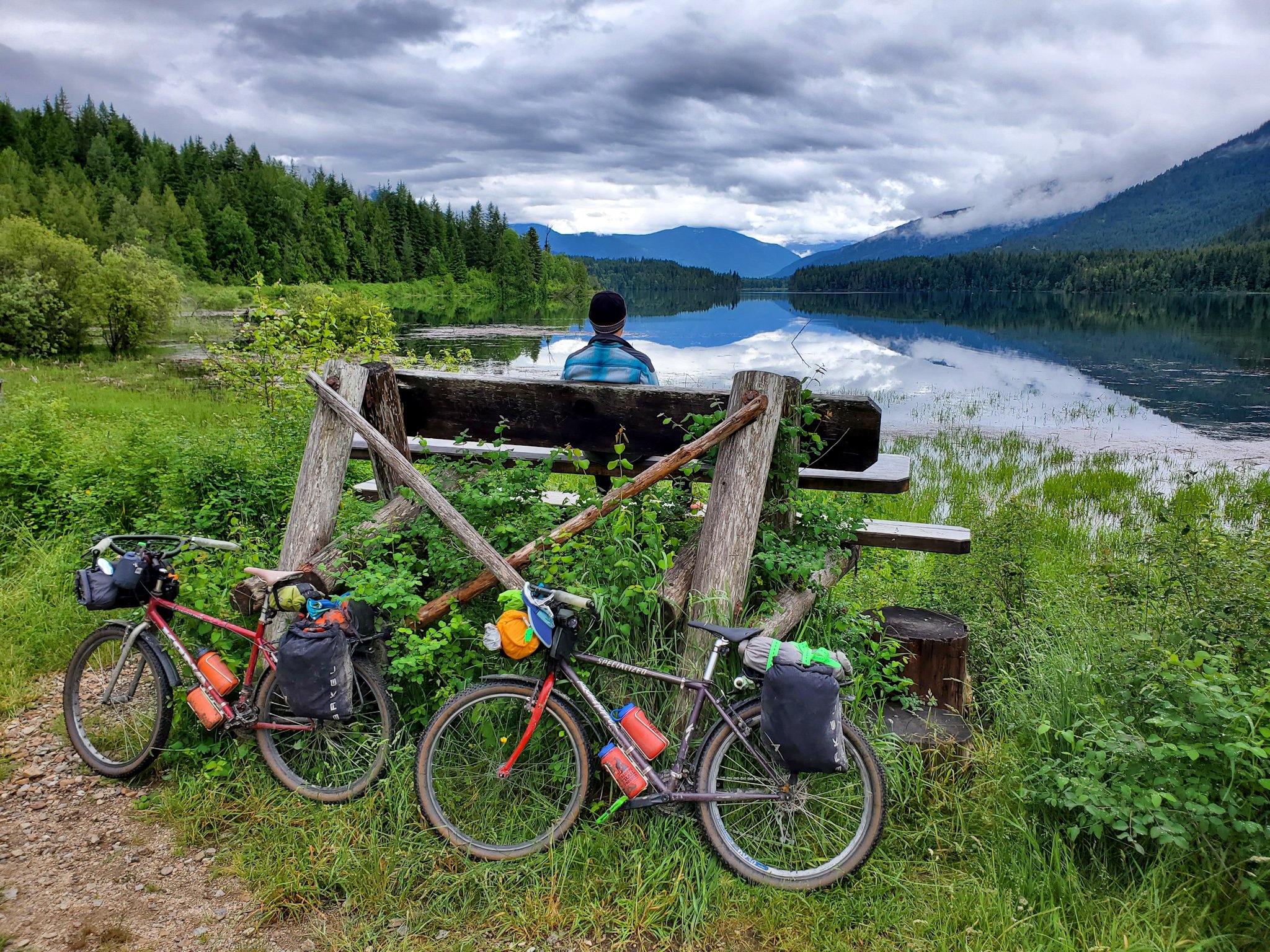
The route offers a balanced mix of well-maintained rail trails, challenging logging road climbs and fast flowing descents. Long stretches of dirt tracks are linked together by short, scenic and serene paved roads, and speckled with BC rec sites which offer free, rustic camping at stunning locales.
The Great Granby, named after the majestic river that runs adjacent to a section of the route, takes travellers through numerous eclectic Kootenay communities, full of character and characters and brimming with small town charm.
Bikepackers are likely to feel a deep appreciation for and connection to the forested landscapes as they roll alongside traditional Indigenous migration routes such as the pristine waterways that long sustained the Sinixt, Ktunaxa and Secwépemc peoples.
The route rolls back in time through turn of the century mining towns, Doukhobor settlements, Japanese internment camps, draft dodger hideaways, farming and forestry communities, cannabis-centric hippie havens and present day recreation destinations which are slowly being discovered.
GOOD TO KNOW
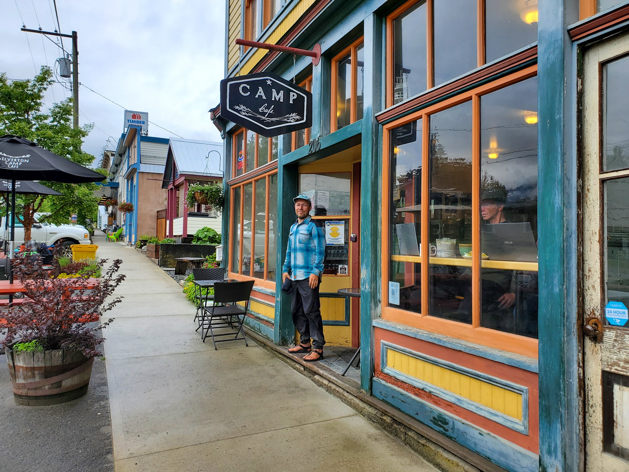
Most of the small villages on route offer resupply options in the form of grocery stores, farmers markets, restaurants, cafes, liquor stores and gas station convenience food. Many host a municipal or private campground, a hotel or motel, a few AirBnBs and a small hardware store.
The bigger centers along the way, such as Castlegar, Grand Forks and Nakusp, offer all of the above, as well as bike shops and/or outdoor stores, breweries, museums, art galleries, rec centers (with saunas and showers) and laundromats.
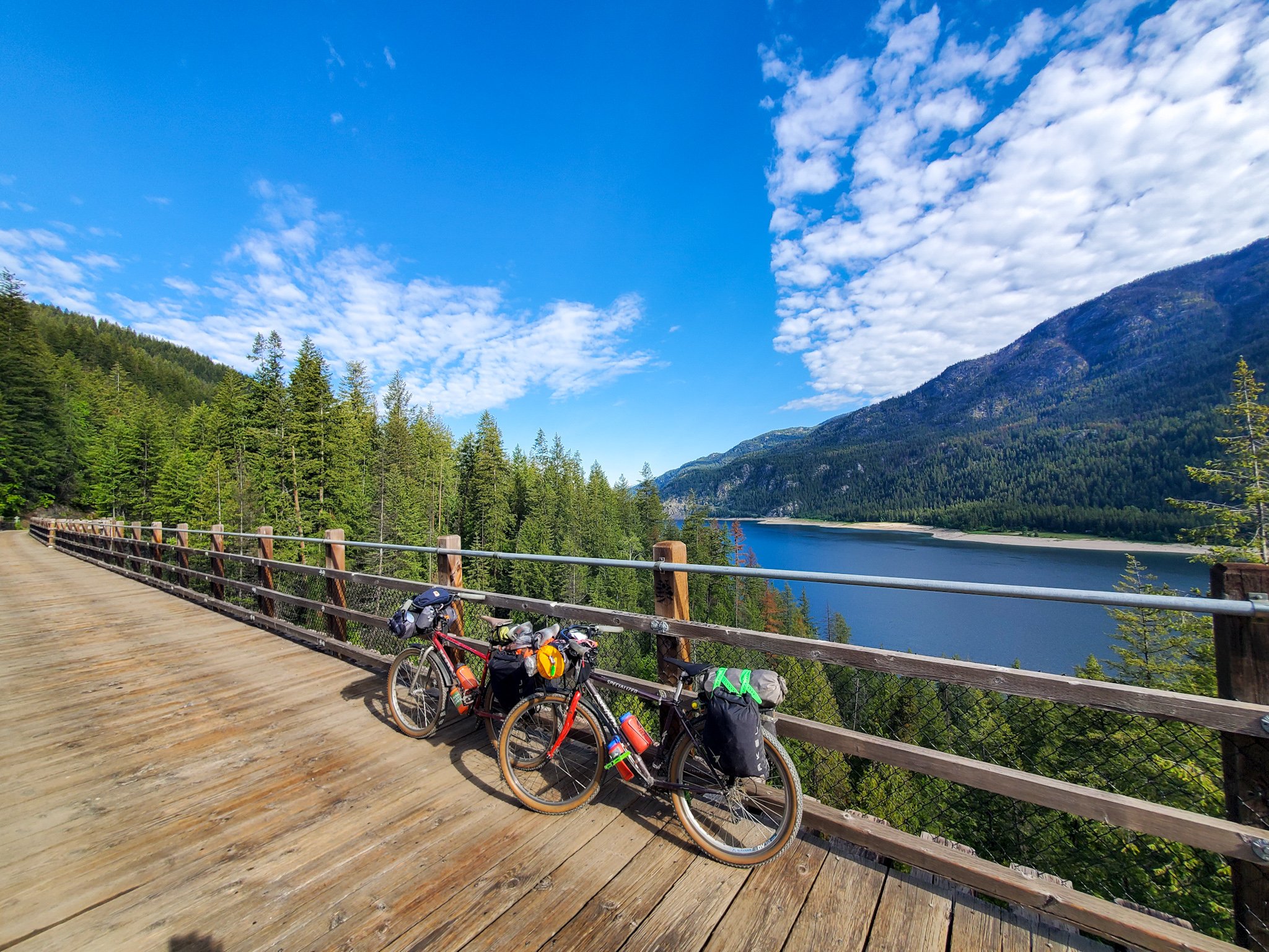
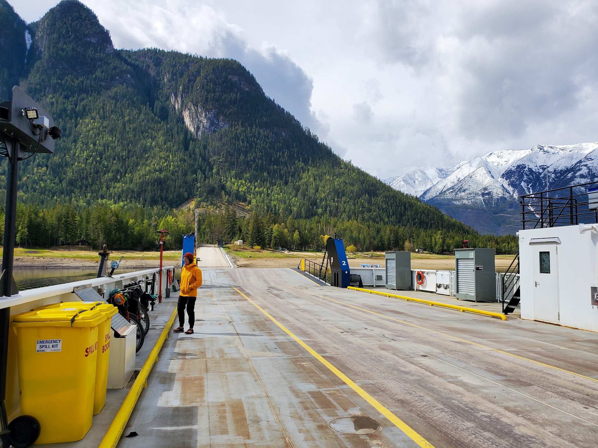
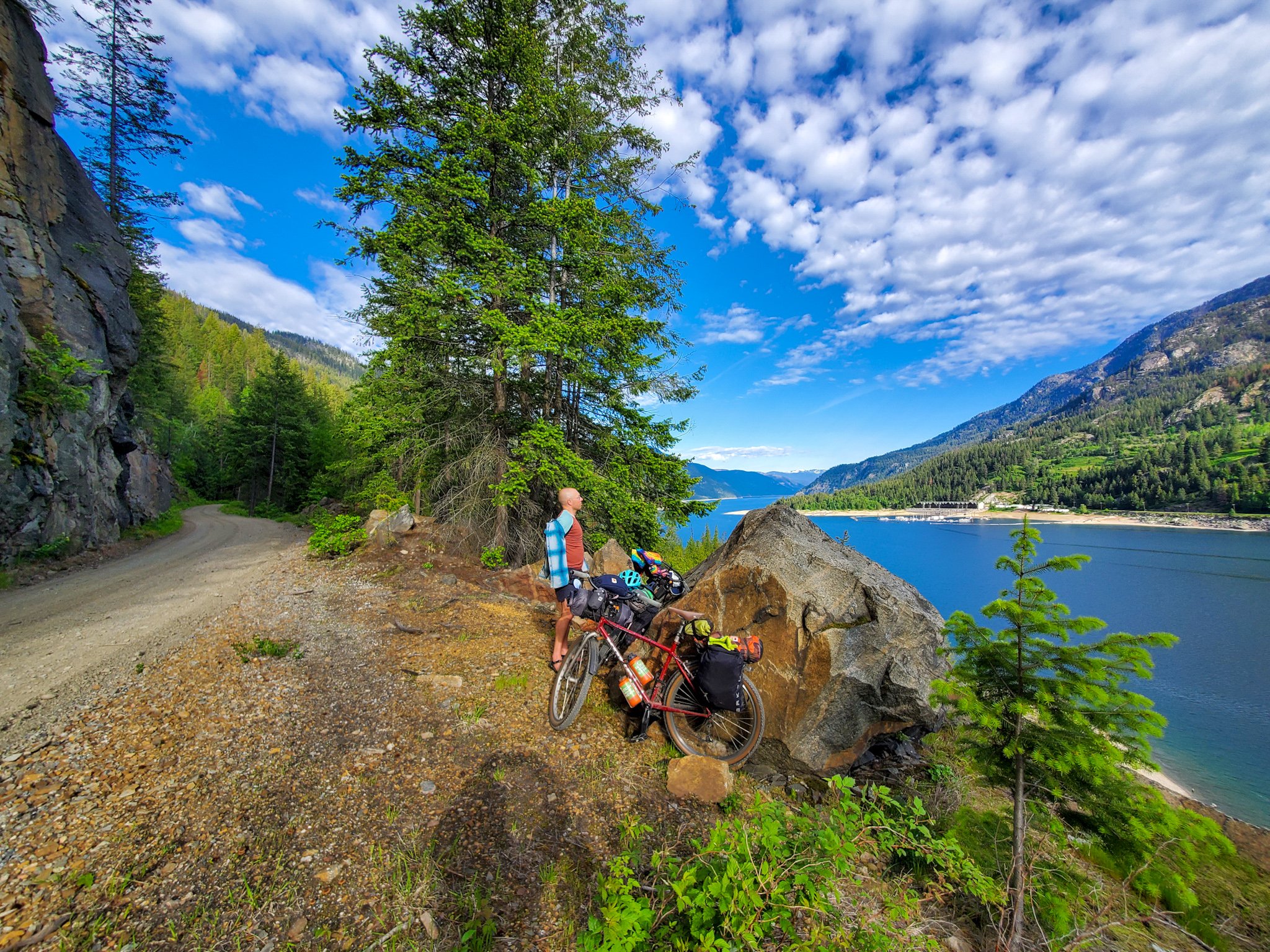
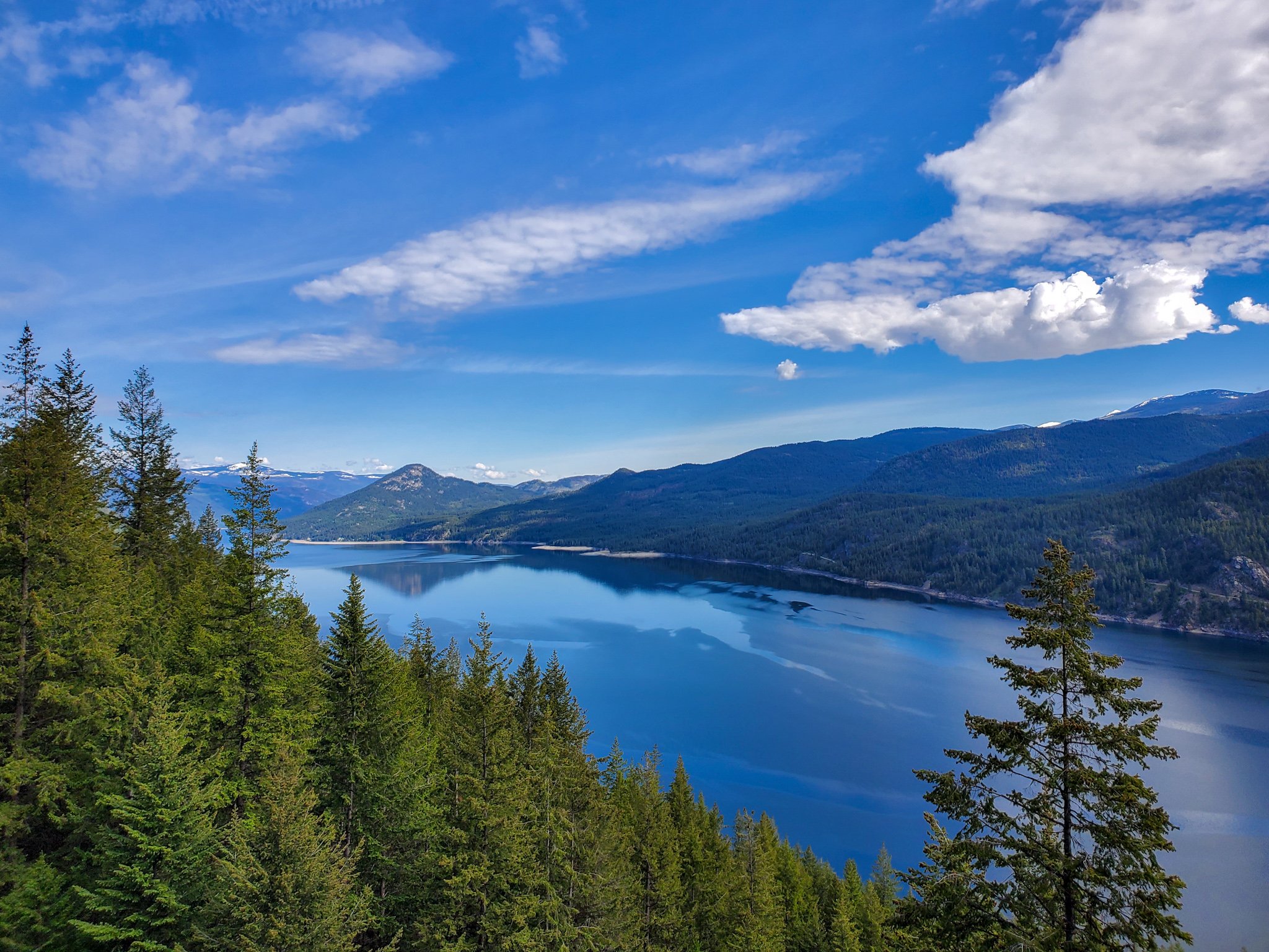
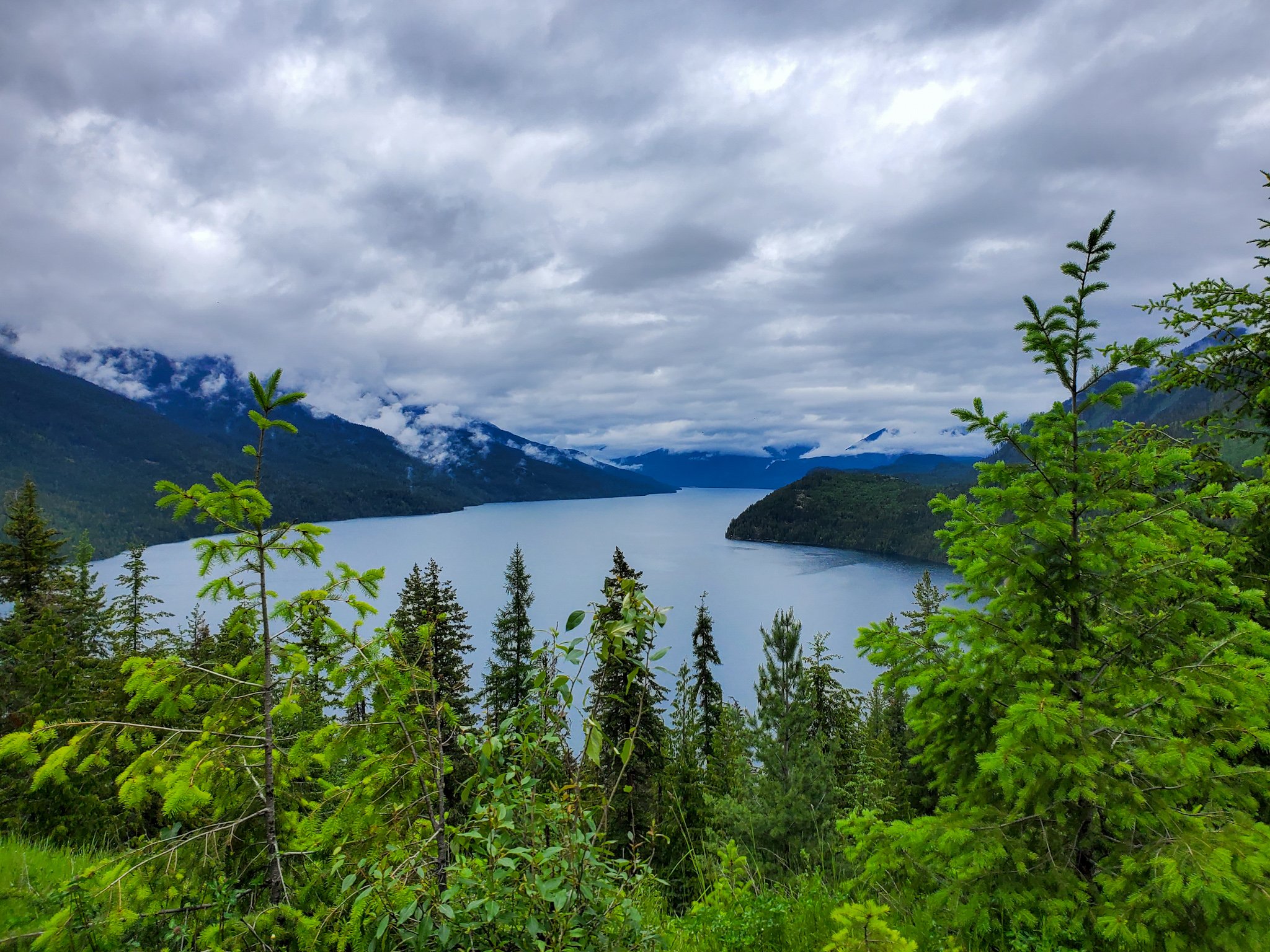
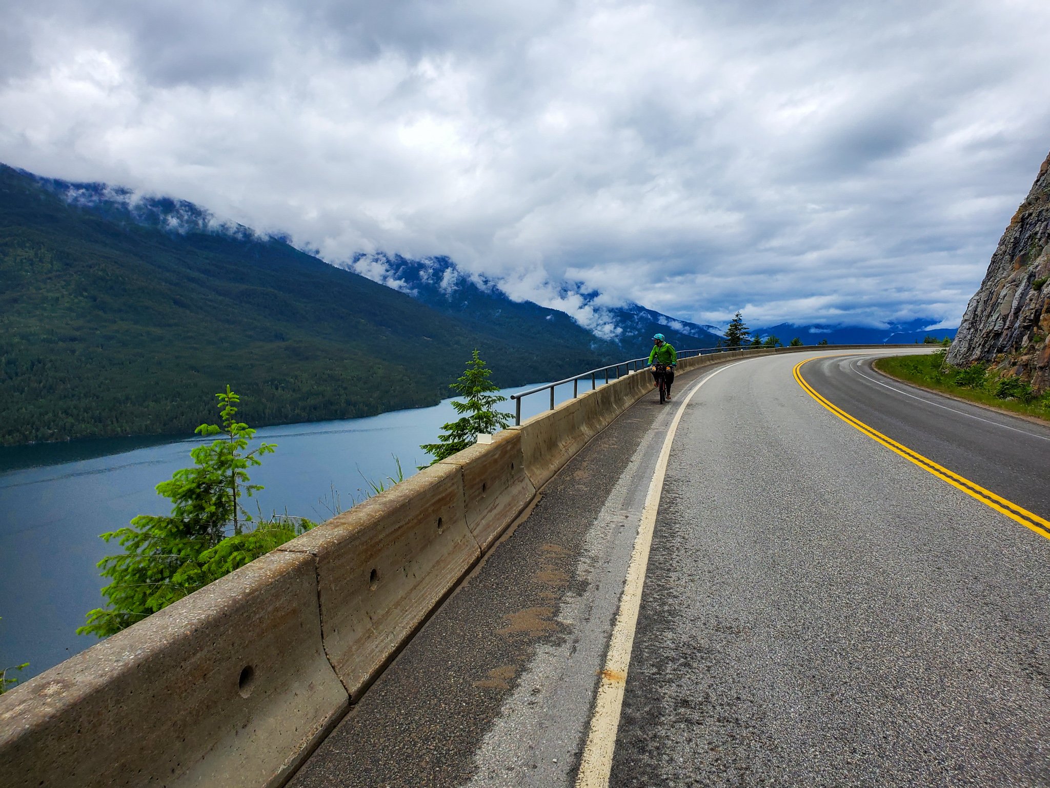
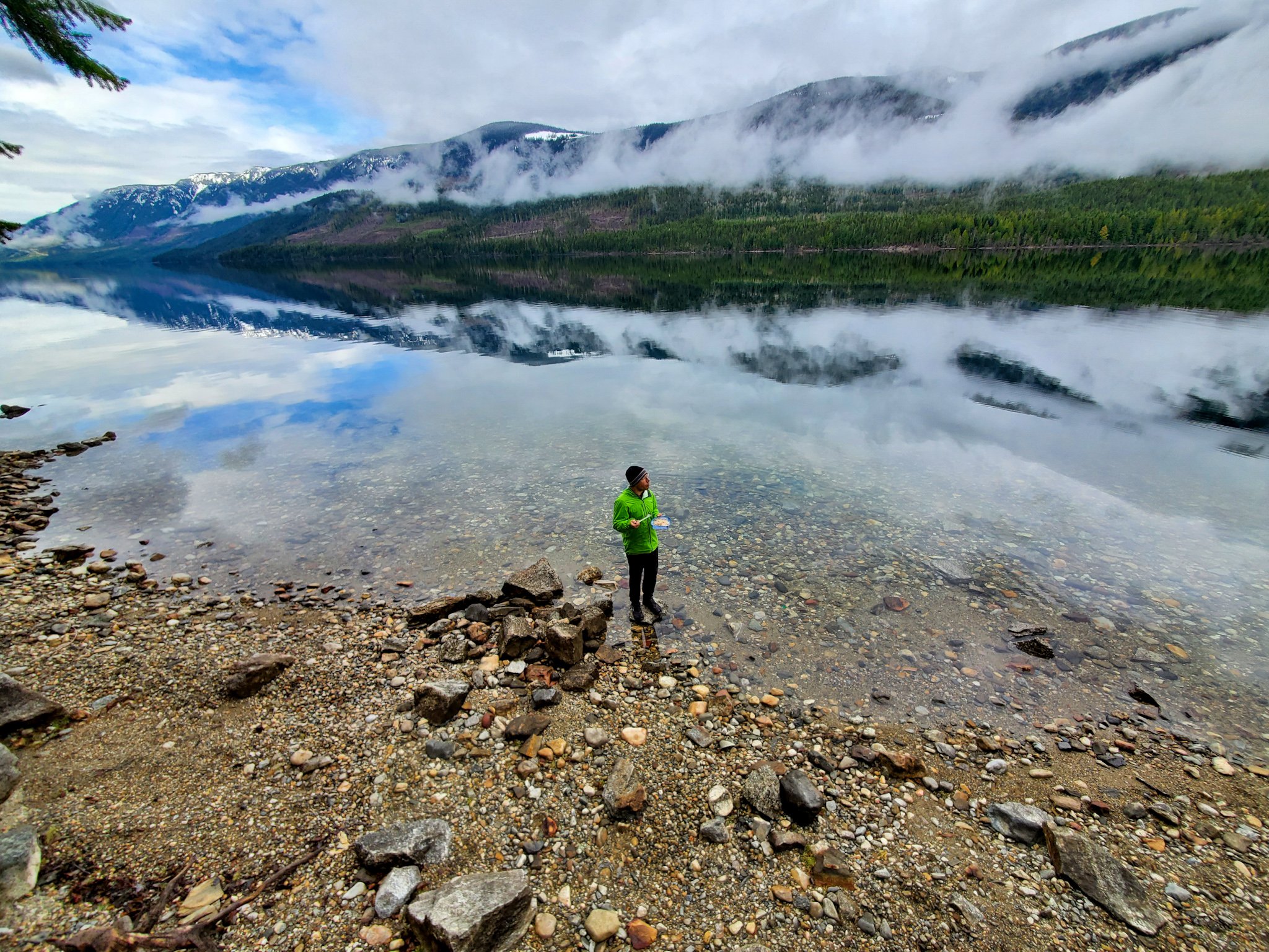
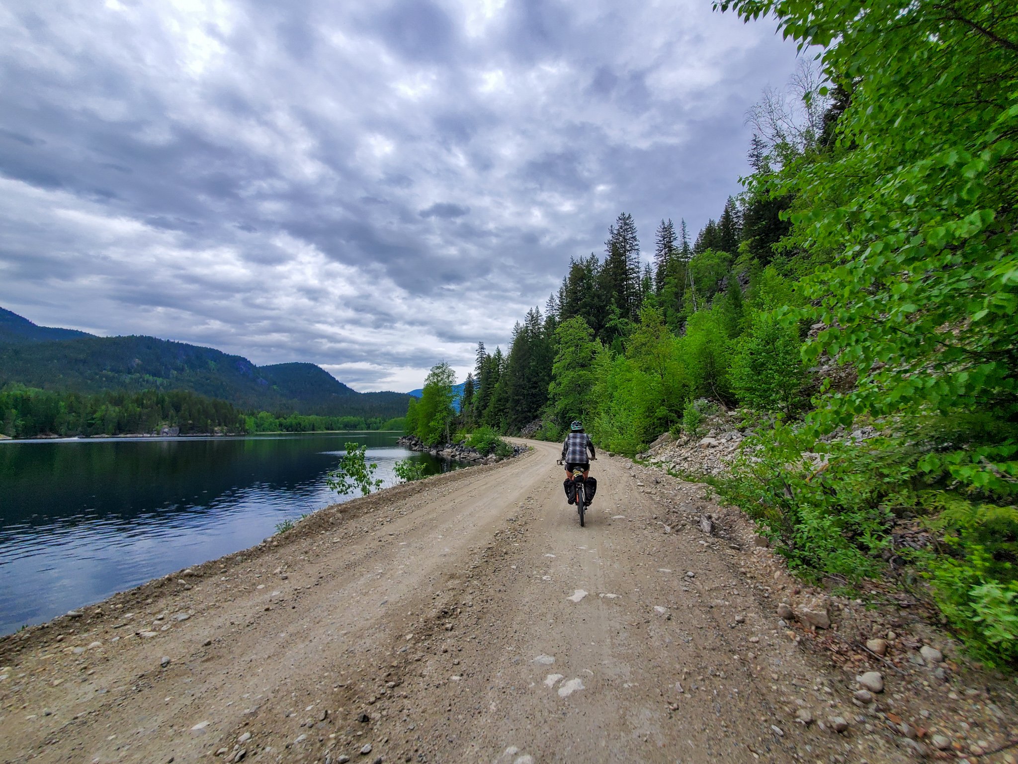
The route includes a short, free cable ferry crossing along the Upper Arrow Lakes which, on a clear day, gives way to some brilliant views of the stunning Monashee mountain range.
As the route traverses next to many crystal clear rivers, lakes and streams, fresh mountain water is abundant throughout most of the journey. In the high heat of summer, some of the smaller streams will be dried up, and it is always advisable to filter wild collected water.
Cell service is extremely limited throughout the route, so a satellite communication device is your best bet to stay in contact or get help should an emergency situation occur. There are hospitals in Castlegar, Grand Forks and Nakusp with a larger regional hospital in nearby Trail.
The Kootenays see their biggest increase in adventurous, outdoor recreationalists through the summer months (early July to early September) so shoulder seasons and mid-week travel will provide more opportunities for quiet roads and quaint campsites.
Though ‘busy’ is never really that busy.
There are a few longer sections of ~100km of trail that don’t have any resupply options along them. Some cyclists will not be able to or will not want to travel these stretches in one day.
It’s best to stock up on extra calories for the stretches between Castlegar and Grand Forks, Grand Forks and Edgewood, and again between Nakusp and New Denver.
At Nakusp, riders will have the option to choose their own adventure - either climbing up the rugged and remote Wilson Creek FSR that gives way to ample alpine lakes with rec sites to swim, fish or camp, or along the mellower, equally stunning N & S (Nakusp & Slocan) Rail Trail to Rosebery where the routes will merge together on the Galena Trail. Wild camping options will be available along the rail trail.
The entirety of the route runs through remote, wilderness lands which are home to black bear, grizzlies, cougars, coyotes, and wolves. Be sure to tie your food up at night and bring bear spray. As bikes are quiet and can sneak up on animals, making sporadic loud, human noises can alarm animals of your approaching presence and ward off any unwanted, surprise encounters.
Once you enter Boundary Country beyond Christina Lake and into Grand Forks, you are in a rare desert-like region which is home to the Northern Pacific Rattlesnake, the only venomous snake in BC, which likes to sun on the warm roads in the high heat of summer. Watch where you step, sit and set up camp. They, like most wildlife, shy away from human interaction and don’t take kindly to being poked at, or picked up.
Find a detailed five day itinerary here

WHEN SHOULD I RIDE IT?
Generally speaking, the Great Granby Bikepacking Loop can be ridden from early June until late September.
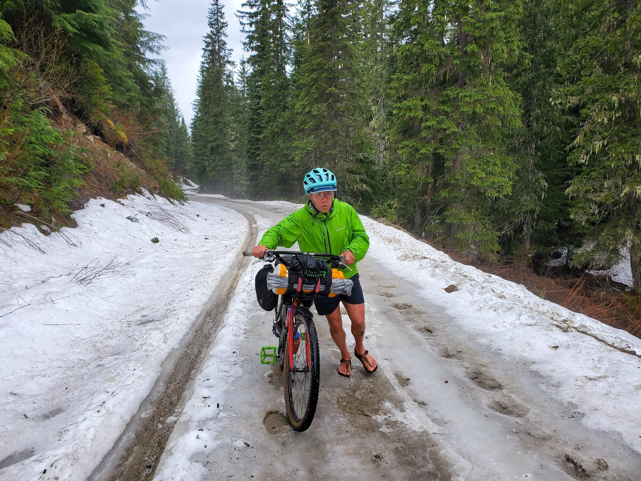
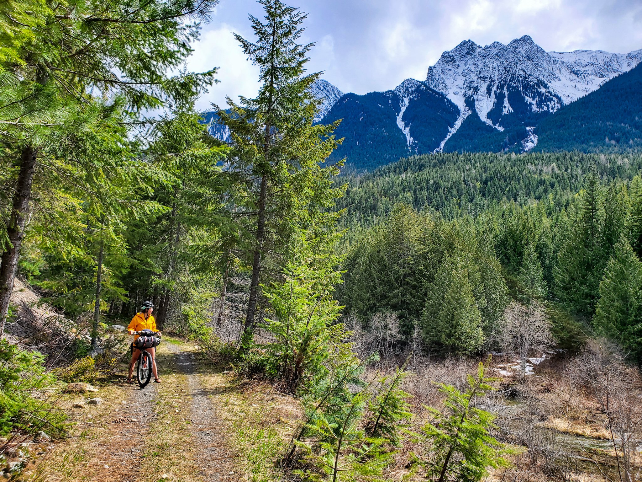
Depending on the winter snowpack and current spring conditions, the route may still have snow at higher elevations in late May and early June.
You can consult the C & W Rail Trail Facebook page, or message the folks at Trails to the Boundary to inquire about current conditions. High points are the Paulson Summit and Burrell Summit, but the Wilson Lake Road can be shady and snowy until mid June too. (There is always the alternate N&S Rail Trail)
Forest service roads (FSRs) tend to be in their peak condition in the spring shoulder season, barring that not too much rain has fallen or they haven’t been recently graded. Logging roads can get dusty and washboardy in the summer after frequent travel by cars, while rail trails can get softer and looser as the season goes on.
Roadways and trails are quieter in the shoulder season, June and September, and mid-week travel is mellower than the weekends.
We recommend heading out on the secondary highway stretches between Arrow Park Ferry and Naksup, as well as New Denver and Slocan early in the morning, and/or mid-week to avoid traffic.
Wear bright colours and bring a rear blinking light on the roadways. Always give logging truck traffic the right of way, and pull off to the side of the road when you hear big machines coming.
WHAT BIKE SHOULD I BRING?
With the fluctuations in the quality of the forest service roads depending on weather conditions, and the lack of truly technical singletrack, you could enjoy the route on a rigid 26, 27.5 or 29er bike with 2.2 - 2.5” tires.
Bigger rubber will lack efficiency on the paved portions of the route, but it will be a worthy trade off as most of your time will be spent off-road on ever changing terrain.
-
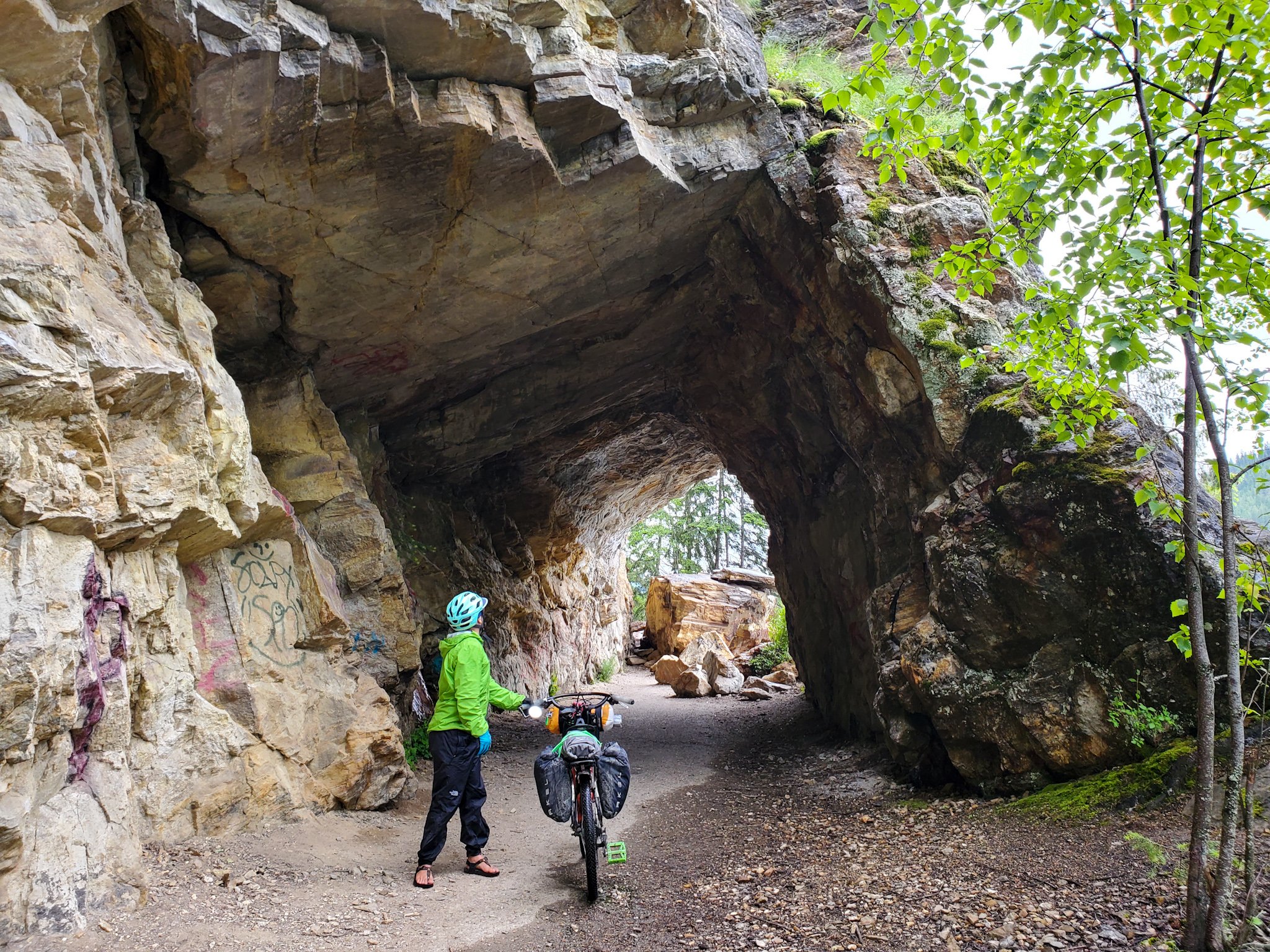
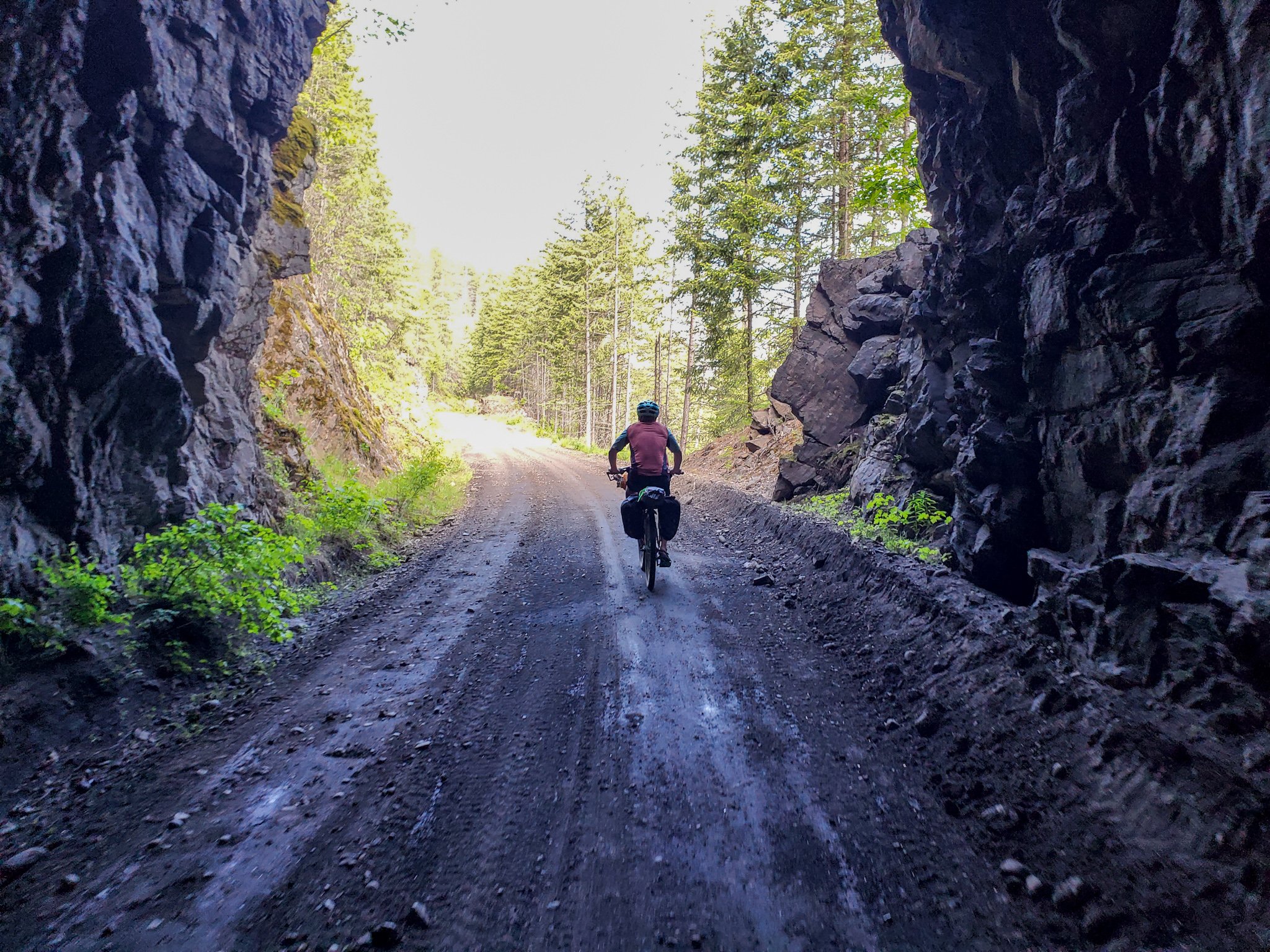
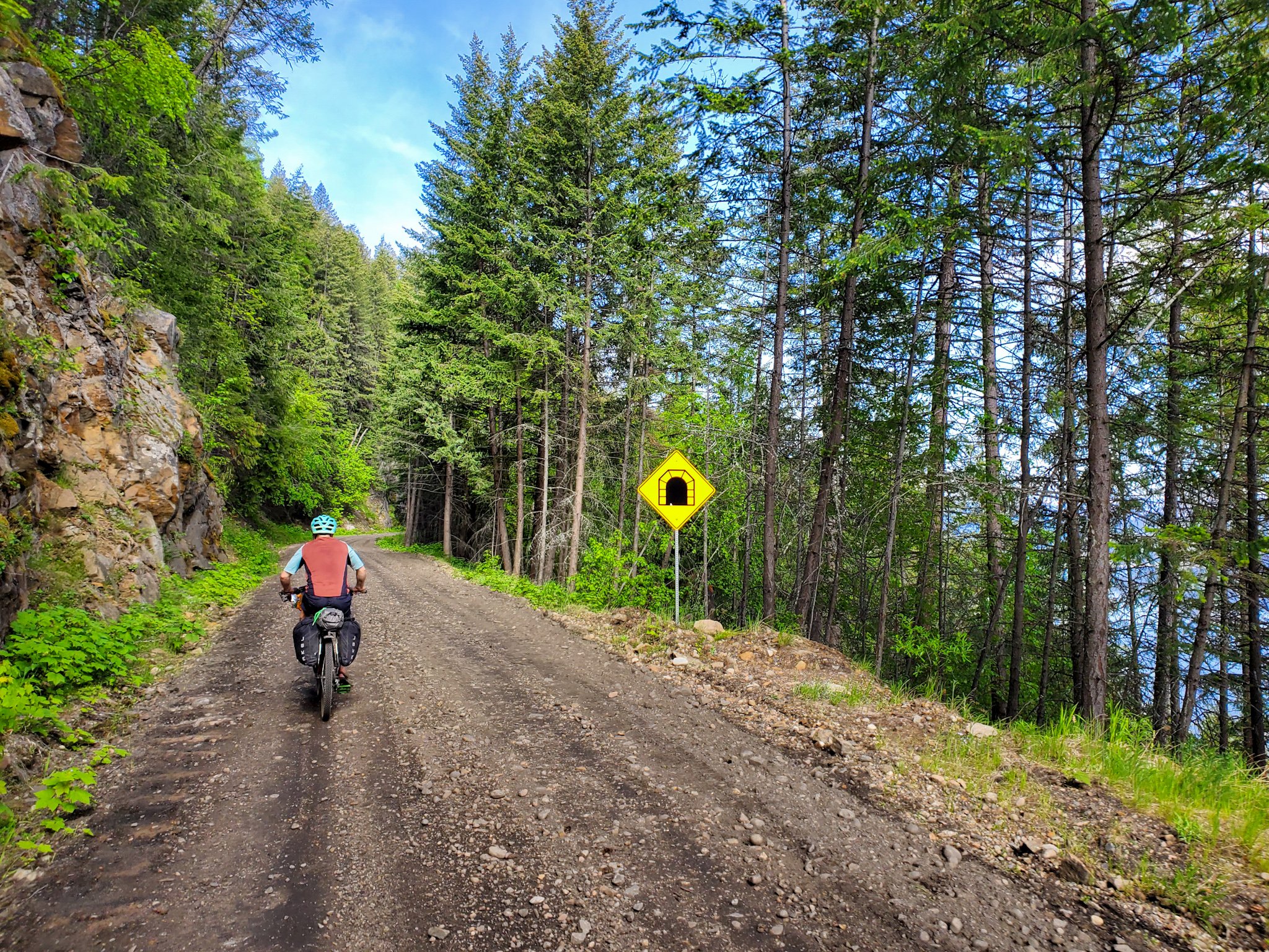
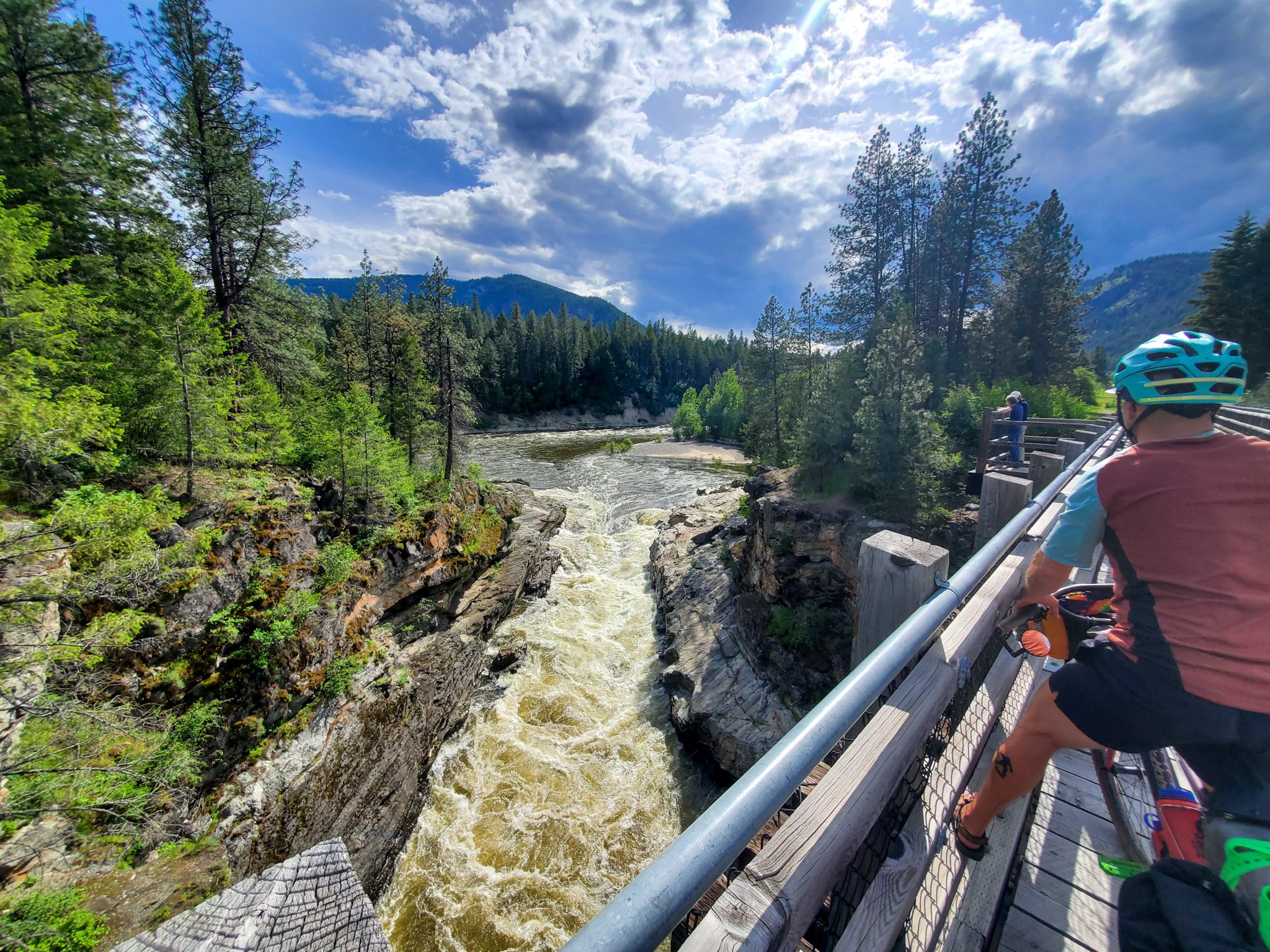
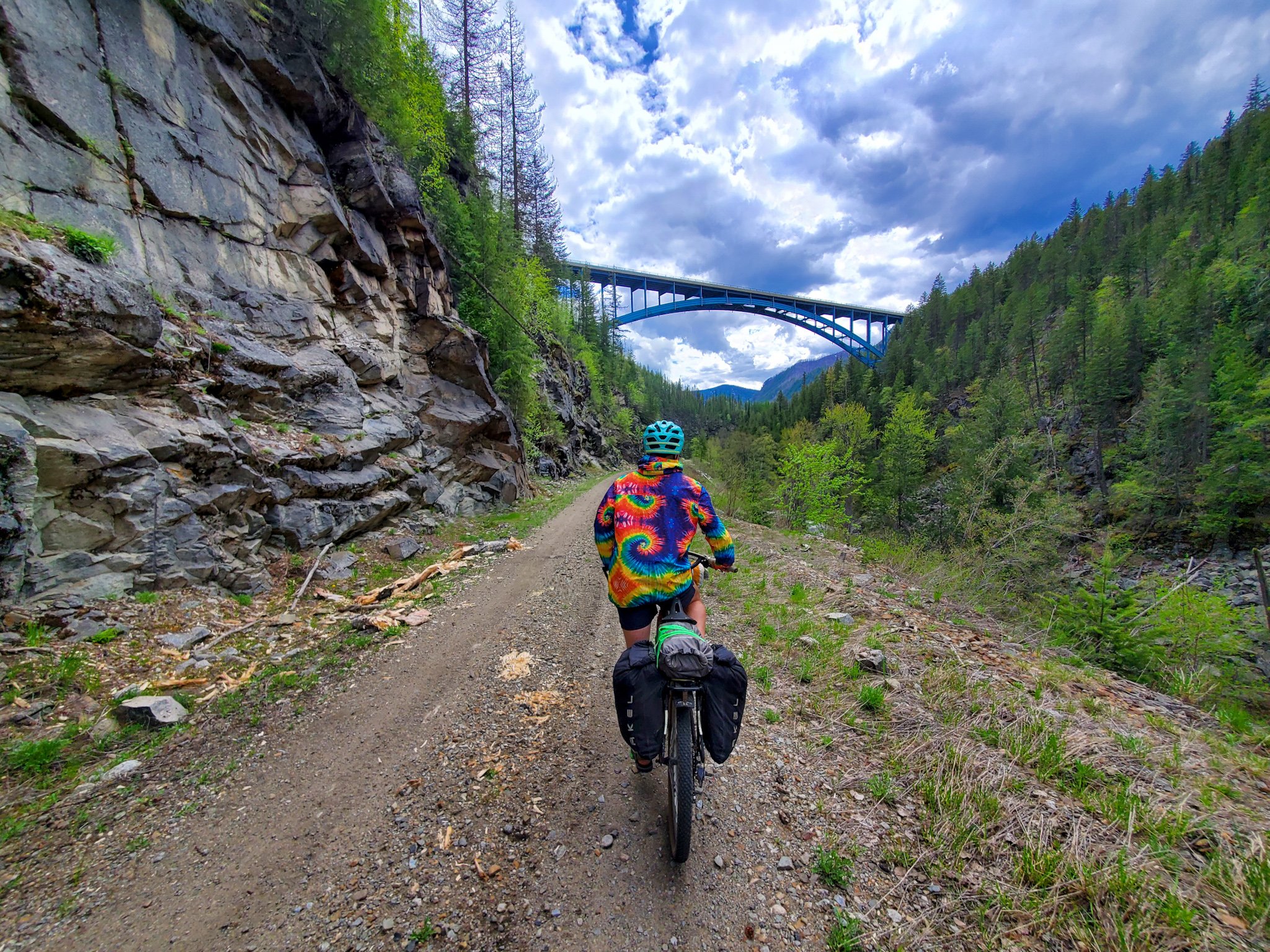
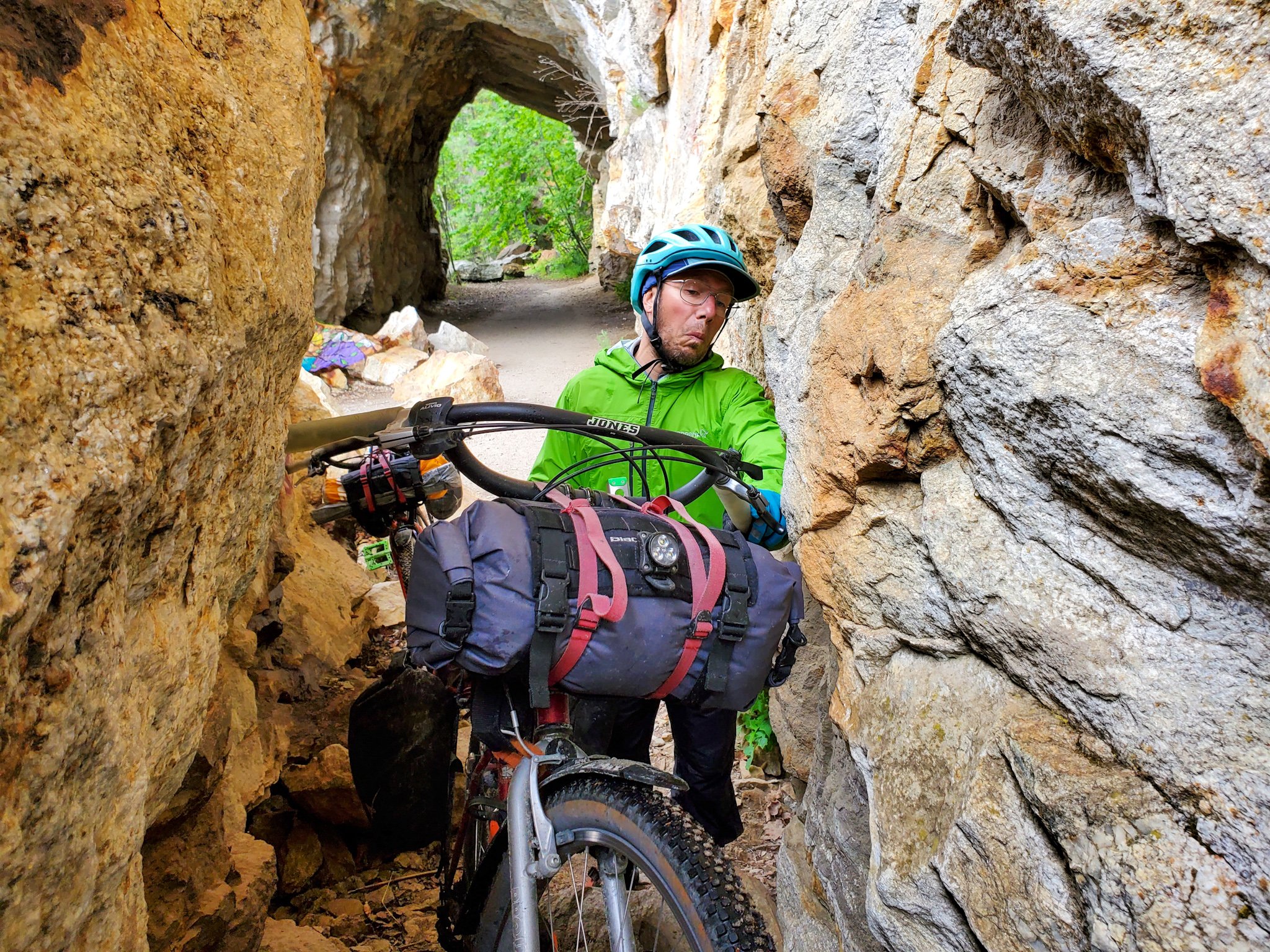
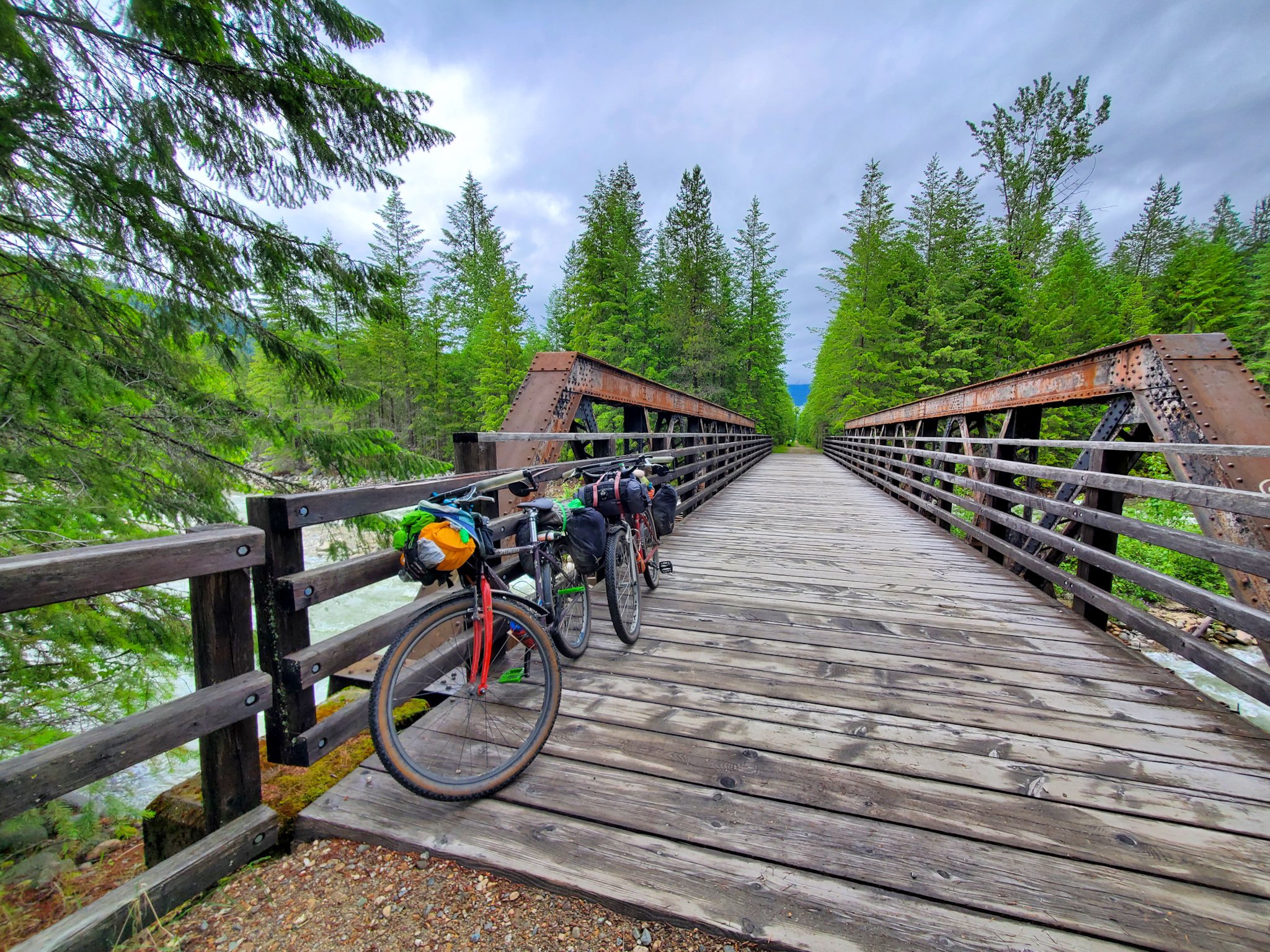
The 1KM long Bulldog Tunnel along the C & W Rail Trail (headlamp recommended) and the restored trestle bridges along the route
The stunning stretch of desert-like rail trail between Christina Lake & Grand Forks along the Kettle River, the restored trestle bridge, sandy swimming holes and summer cliff jumping spots
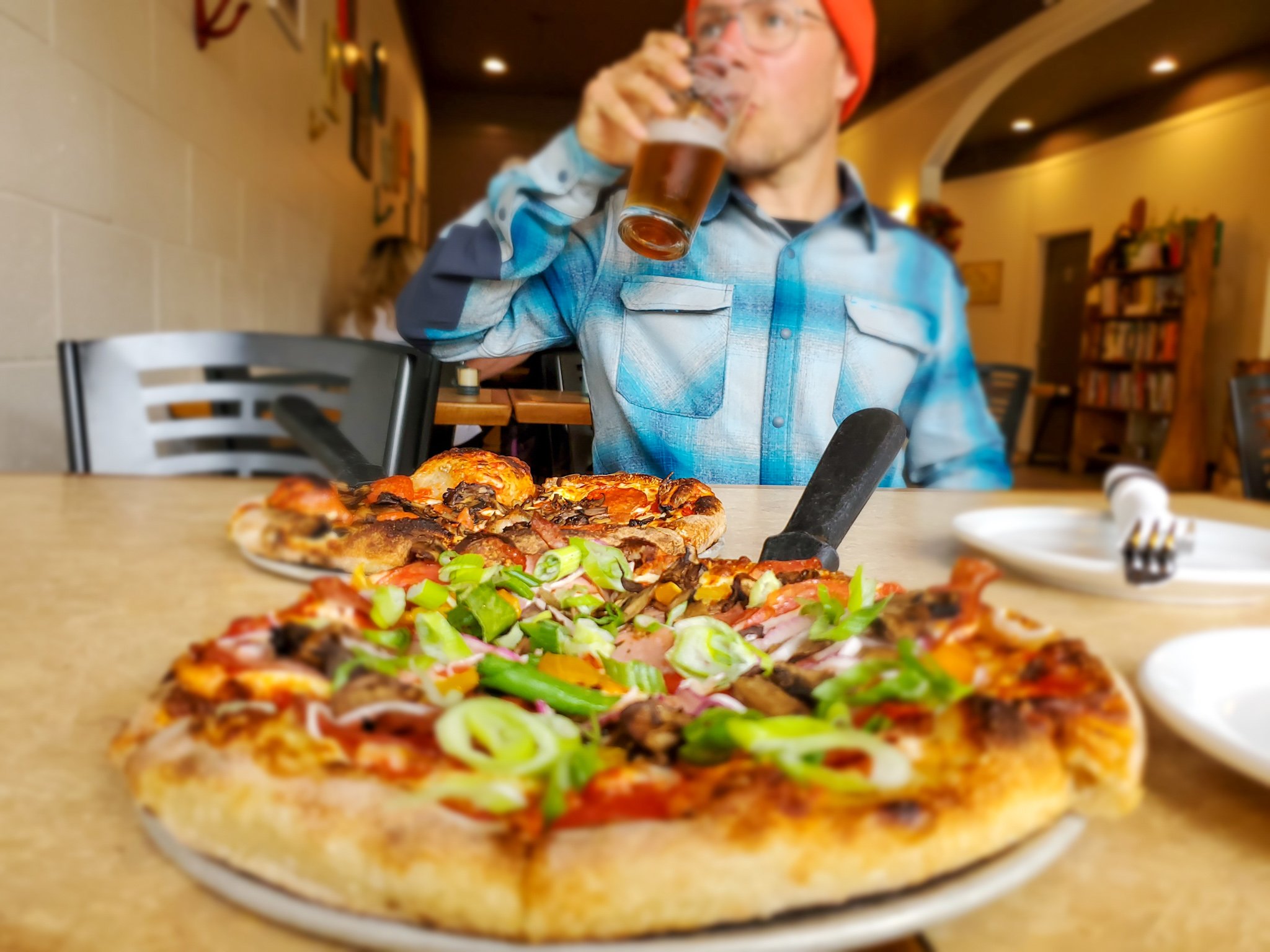
In Grand Forks, The Wooden Spoon Bistro for breakfast, The Boardroom Cafe for coffee, the Grand Forks Brewing Co. for beer and Gallery 2 for arts and culture
The fast rolling stretch of pave between Grand Forks & the Burrell Forest Service Road that shares space with the routes namesake, the sparkling Granby River
The wicked descent from the summit of the Burrell FSR (which becomes the Worthington FSR) into Edgewood
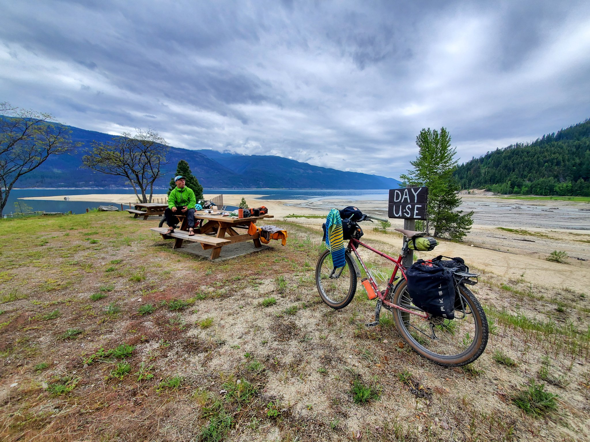
The view across Upper Arrow Lakes from the Edgewood campground and the free, hot showers
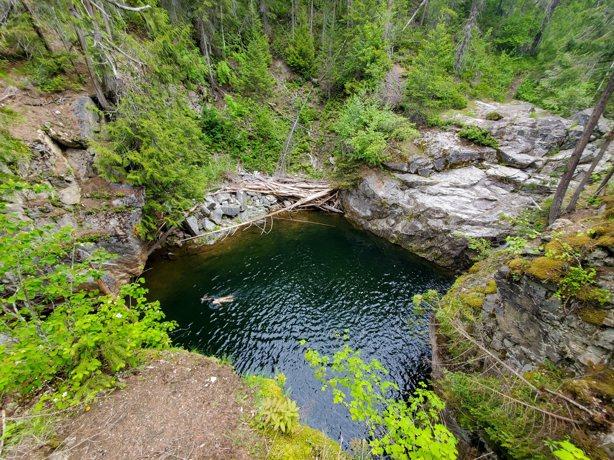
Cliff jumping off the tall rocks at Hippy Hole as you climb towards Whatshan Lake
The remote, rustic BC rec sites perched alongside the alpine lakes
IN NAKUSP:
The optional (but worthwhile) 13km paved (and quiet) climb up to the Nakusp Hot Springs (which offers tent camping at $20/night and a great descent the next morning)
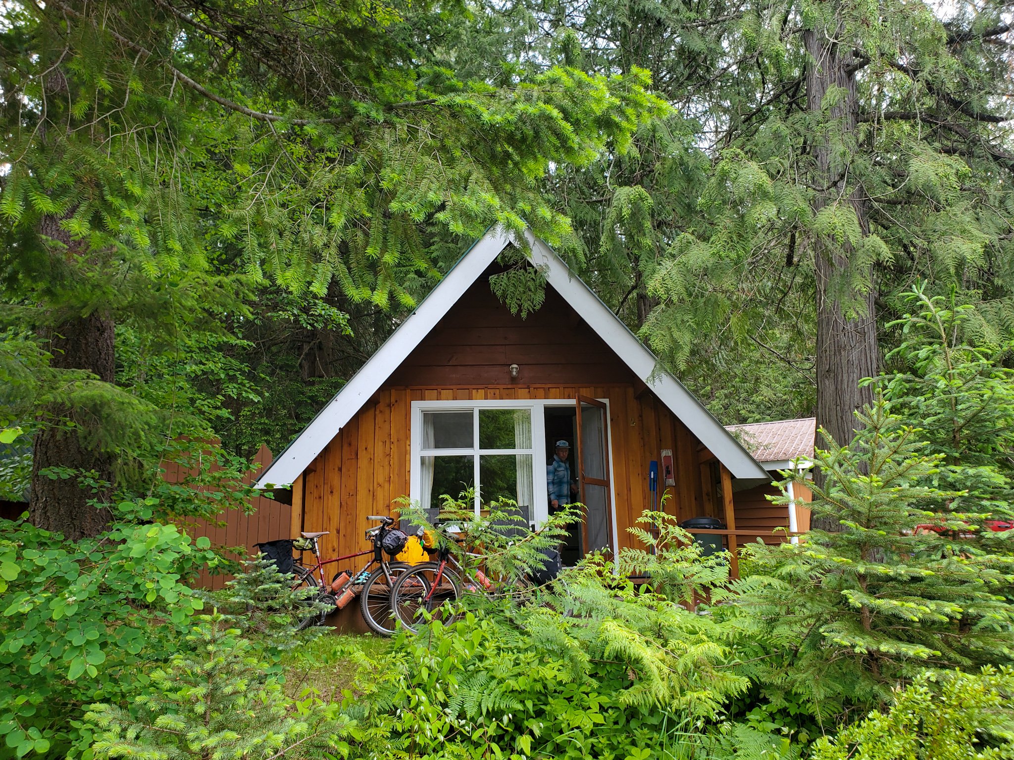
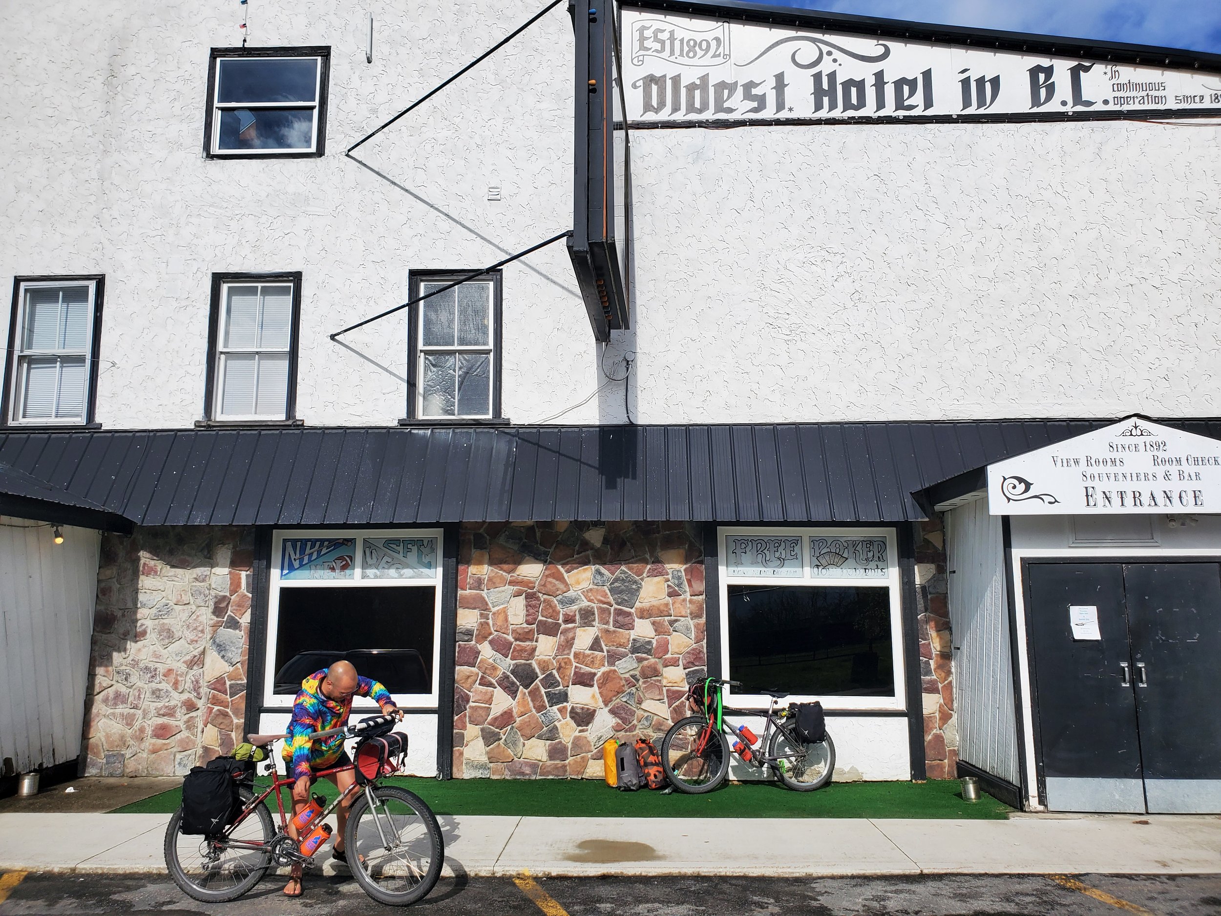
A night at BC’s oldest and longest running hotel - The Leland
Tapas at Bella Soriah, pizza and craft beer or local cider at Arrow & Anchor
Mountain biking and camping at the newly established Mount Abriel Rec Site (15 km road ride outside of town)
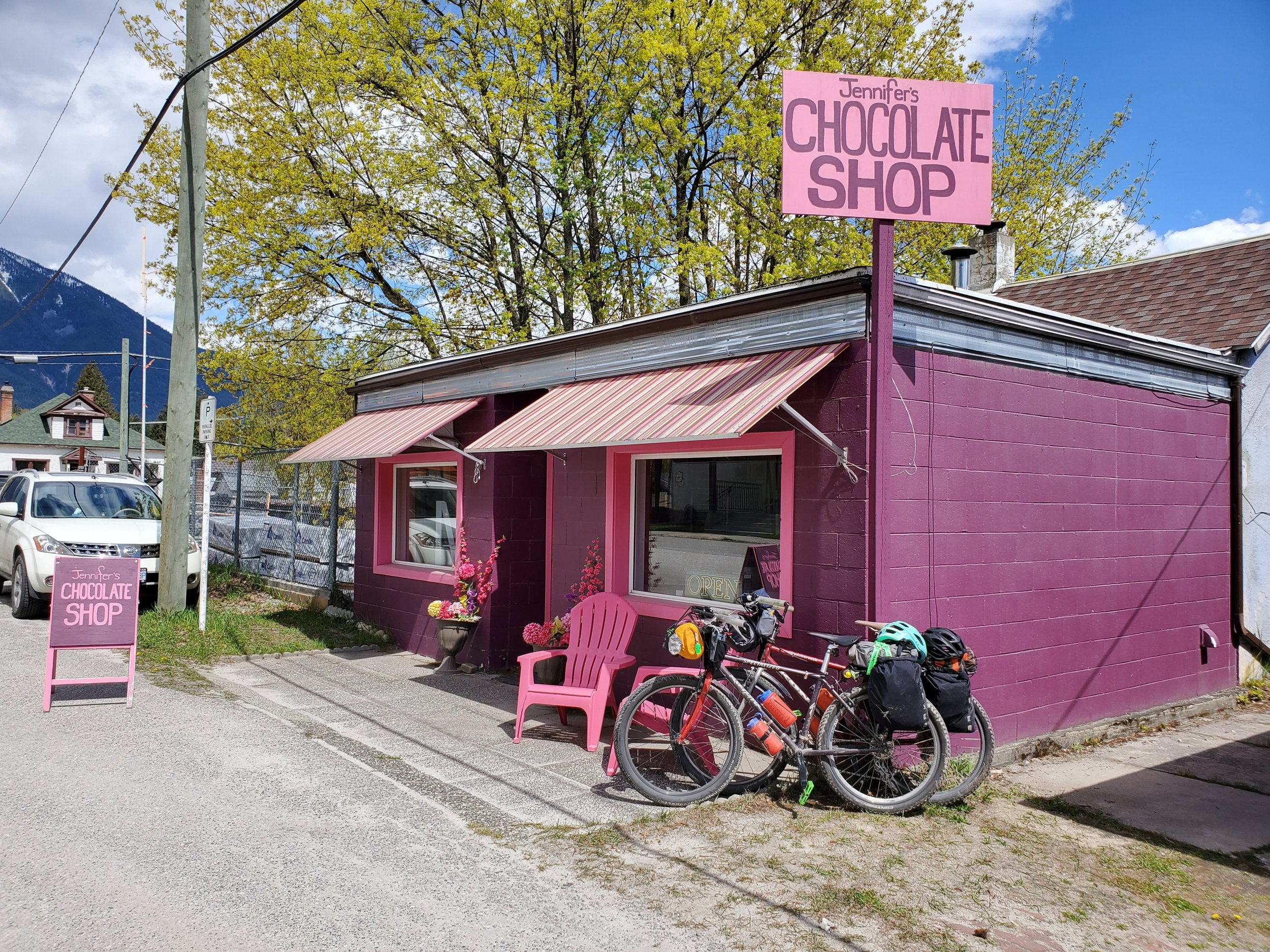
Locally made sweets at Jennifer’s Chocolates
The vintage bike museum at Shon’s bike shop
The majestic views of the jagged, snow capped peaks in the Valhalla Provincial Park as you climb from Silverton, up and over to Slocan City
Any of the smoked meat sandwiches the The Grizz Food Truck at the Mountain Valley Gas Station in Slocan City
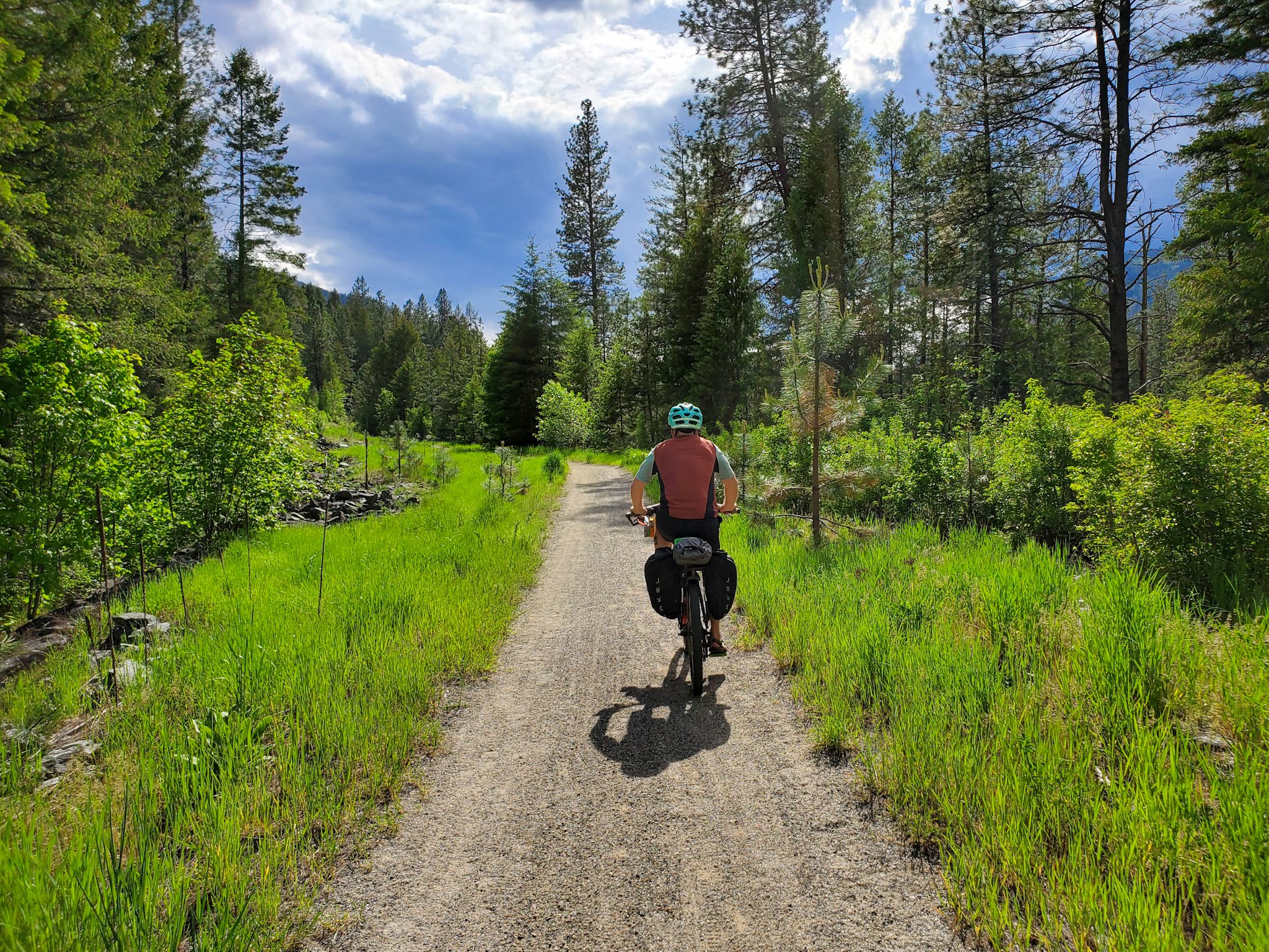
The entire, sacred stretch of the Slocan Valley Rail Trail (SVRT) which follows Slocan Lake & Slocan River for 50 stunning kilometers
Breakfast at the eclectic Frog Peak Cafe at the south end of the SVRT
A brisket dip sanger and cold BC craft beer at the Lions Head Pub, a small detour of the route near the end of your journey
For more info about awesome things to do in the area, check the Arrow Slocan Tourism website here.


LOGISTICS
-
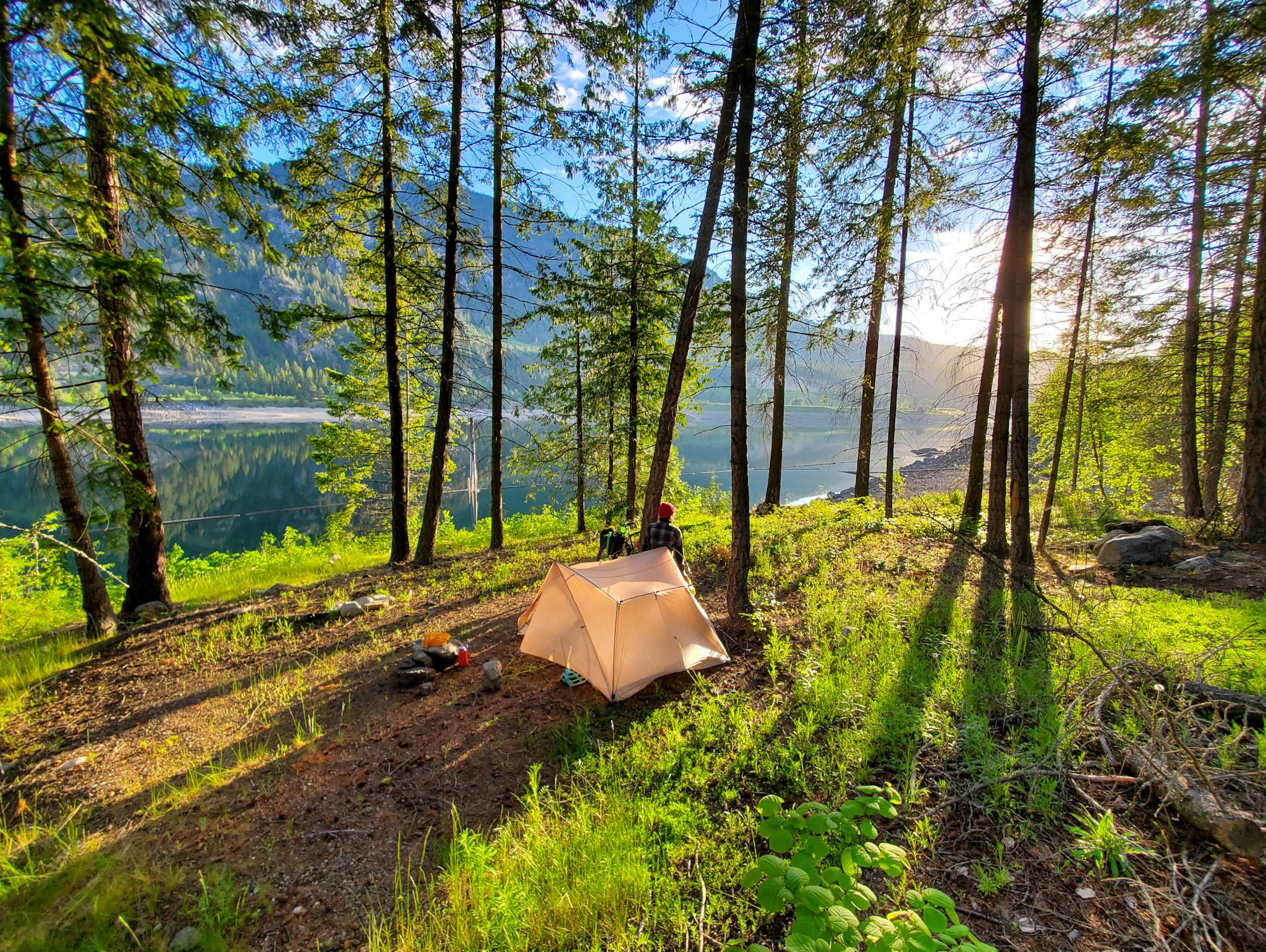
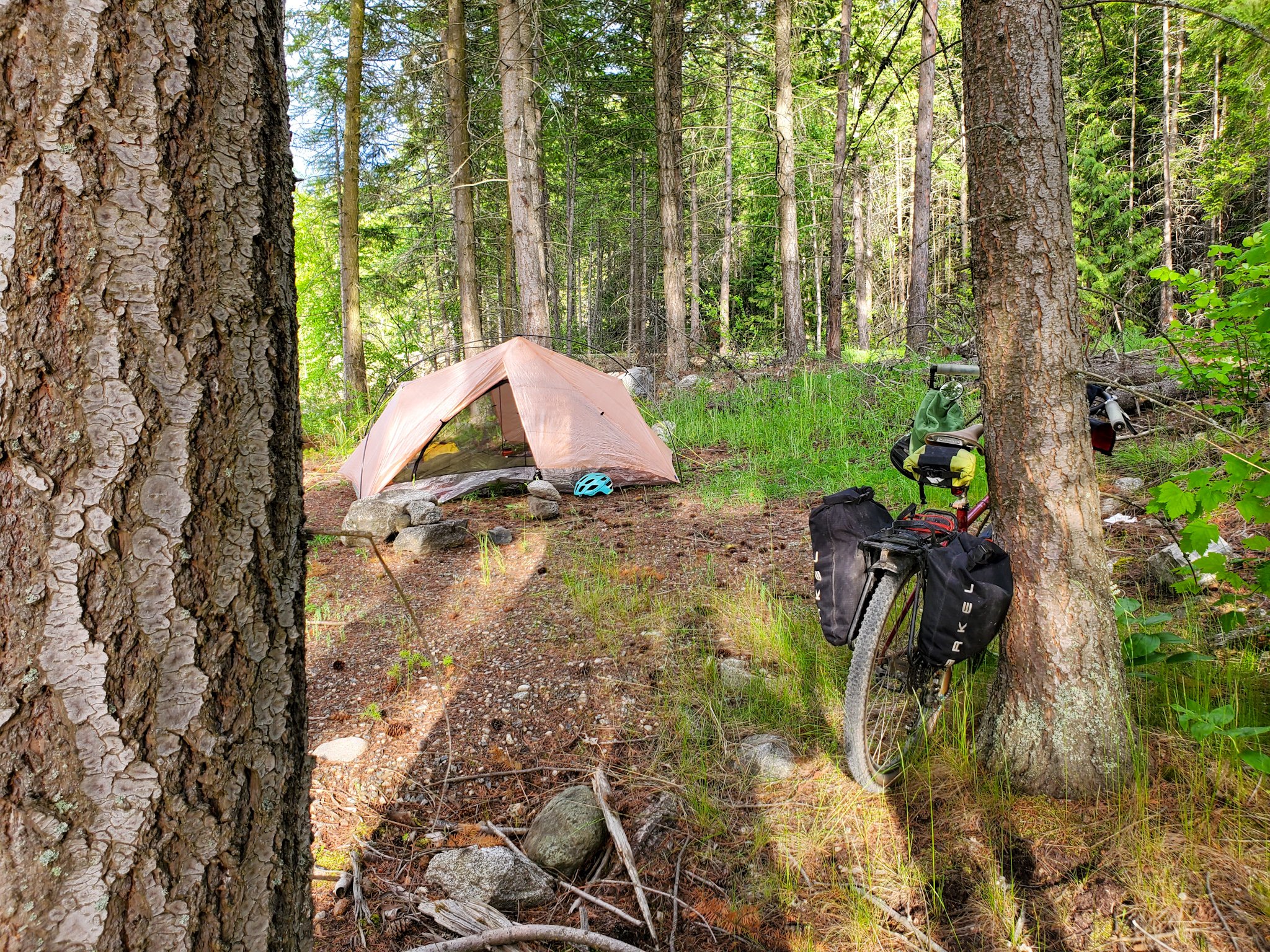
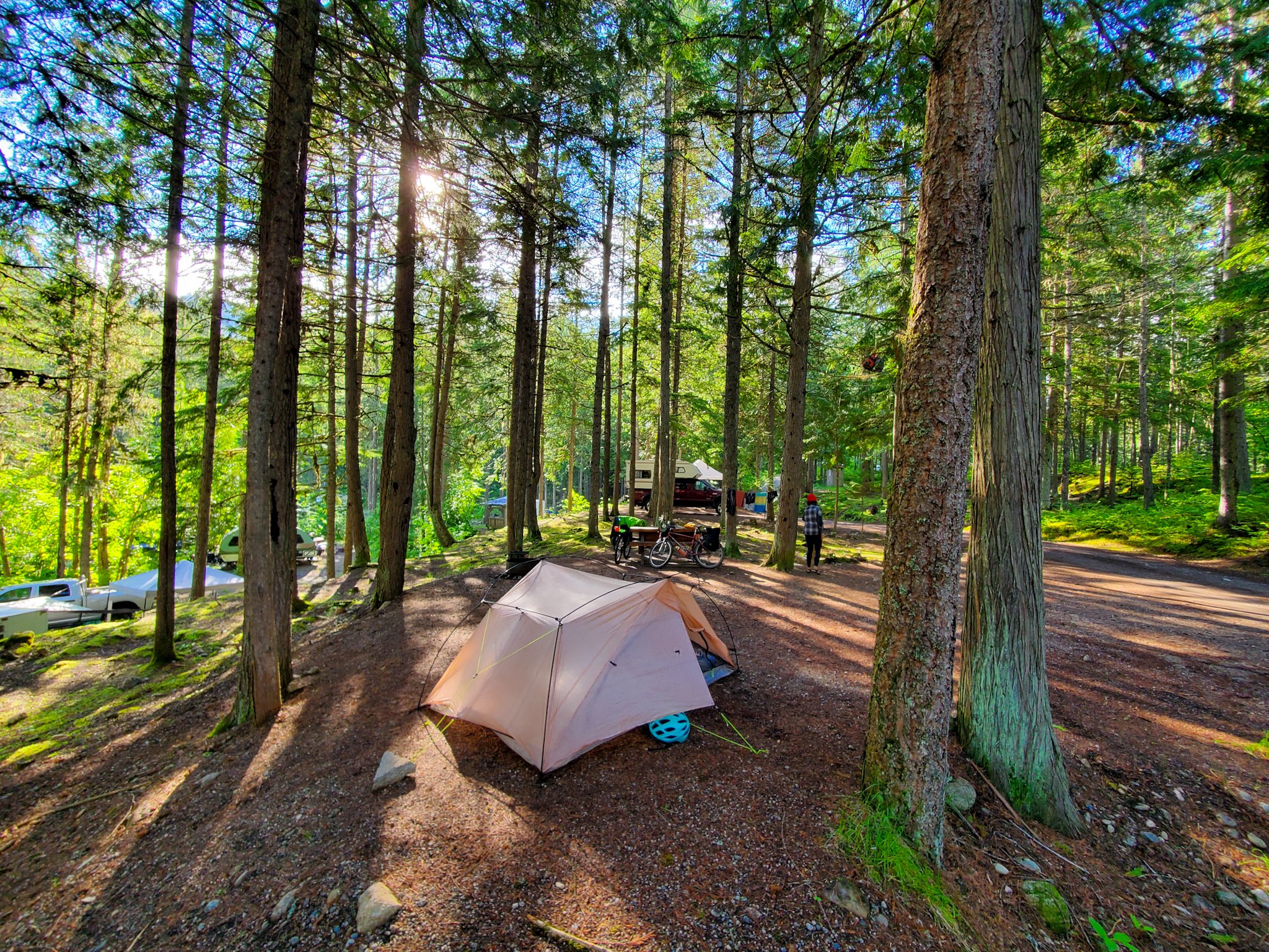
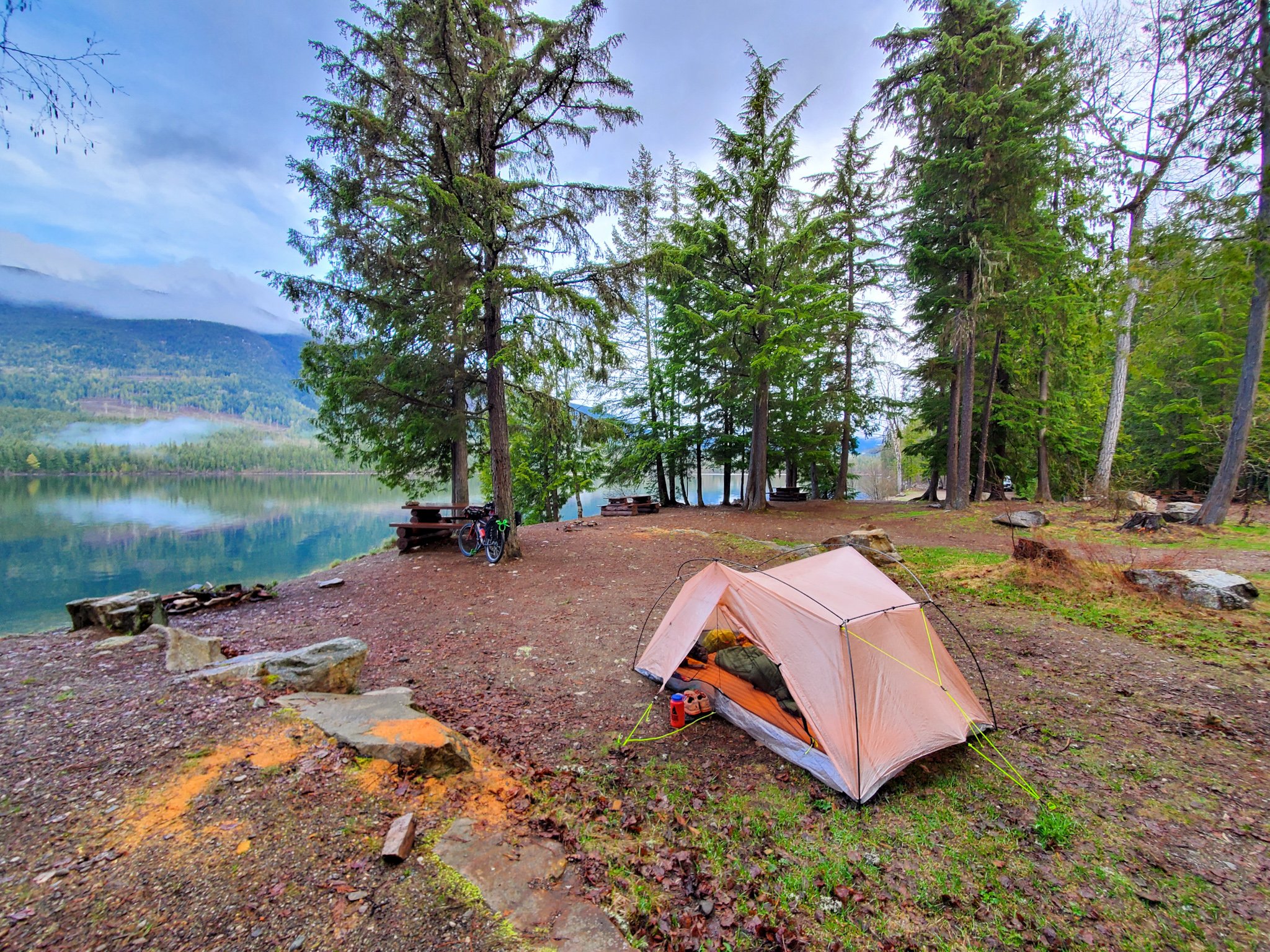
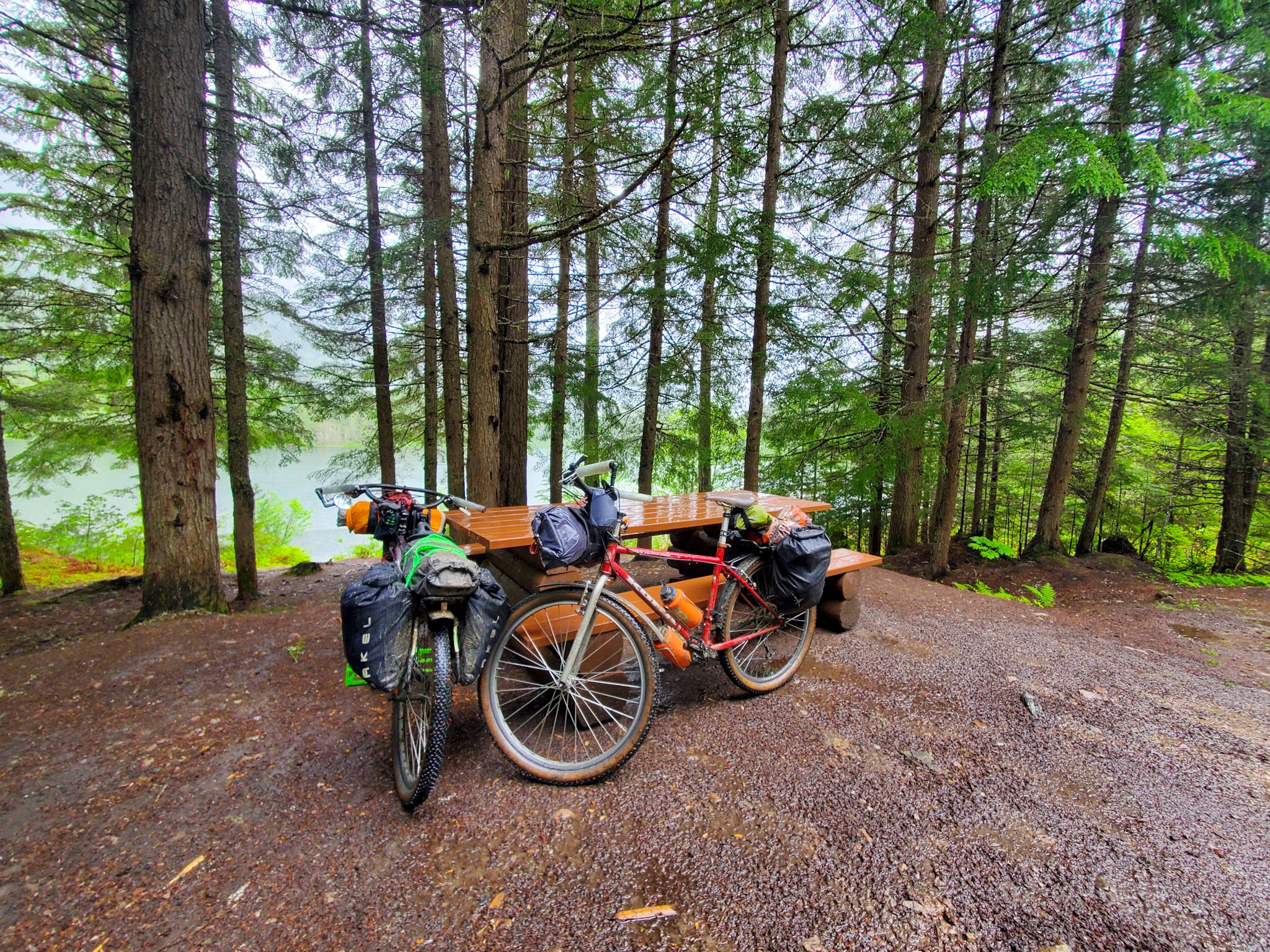
BC Rec Sites are free, rustic campsites speckled along the route with flat spots, picnic tables, and outhouses and are often nearby to a water source. They are noted on the map. They can get busy during peak season, but if you get creative there is always a spot to pitch a tent.
Wild camping is possible throughout the route, try to set up at dusk and pack up by dawn if you are in highly trafficked areas, and of course, leave no trace. There are pay campgrounds highlighted on the route, and a few others which aren’t mapped.
Most towns along the way will also have hotels, motels, airbnbs or other options for indoor accommodations. Consider booking ahead in busy season.
-
Arrow Park Ferry is a small, cable ferry that links the west side of Upper Arrow Lakes to Highway 6 towards Nakusp.
The cable ferry operates on demand daily from 5A - 9:20P with a lunch break between 12:05 - 2:15P and the barge is free to ride.
-
The City of Castlegar has a few well-lit, frequently patrolled, public parking lots located near the downtown core, close to grocery stores, restaurants, cafes, the Cycology bike shop and the police detachment.
There is also ample residential street parking available near the north end of town. A large, dirt parking lot is available at the beginning of the C&W Rail Trail but is remote, dark and rarely if ever, patrolled.
You can also park for a fee in a secured lot at West Kootenay Airport in Castlegar.
-
Castlegar is serviced by the West Kootenay Regional Airport. If you fly in, you can catch a local bus for the short ride into town with your bike box, or set up your bike, ride across the highway, go left on Heritage Way and take the trail at the end of the road down to the bridge into town. Here, you’ll pick up the Green Line Cycling Path.
Along the main road, you’ll be able to stock up on everything you need in terms of food, beverage and last minute bike needs for the remote, 115k to Grand Forks. (It is 90 km to Christina Lake, but resupplying there involves a big descent into town.)
-
BC Transit runs regional buses that come to Castelgar from Nelson and Trail everyday, route 99 and 98 respectively, that will drop you off at the Castlegar Community Complex to catch the route. There are two bike racks on the front of the buses that only fit up to 2.5” tires.
You will have to remove your bags from your bike before putting them on the front racks. Most bus operators will NOT let you bring bikes inside, or use the racks during dawn or dusk as they block the front headlights.
Mountain Man Mike’s is a private bus company that runs from Vancouver through Casltegar on Thursdays and Sundays and allows you to bring a bike (in a bag or box) for a $80 fee.
SilverCity Stagelines runs from Kelowna to Castlegar everyday and allows bikes for a fee.
-
While the route can be picked up in any town along the way, we feel that Castlegar is the best start and end destination as it is easy to get to, has all the amenities you need and gives the loop the optimal amount of flow and balance.
Riding the route the way it has been plotted makes for the most amount of descending and more enjoyable ascending.